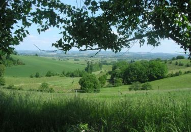
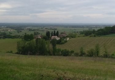
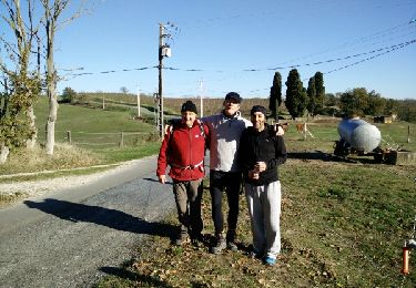
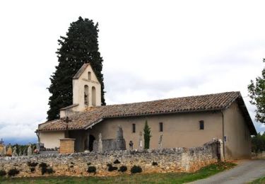
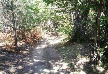
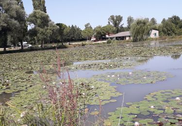
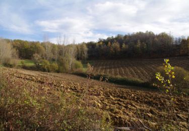
Trail Mountain bike Lisle-sur-Tarn - La 4ème Déjanterre d'oc 2006 - Photo

La 4ème Déjanterre d'oc 2006

 tracegps
tracegps

User

© OpenStreetMap contributors
Length
Length
47 km
Max alt
Max alt
292 m
Uphill gradient
Uphill gradient
861 m
Km-Effort
Km-Effort  
58 km
Min alt
Min alt
125 m
Downhill gradient
Downhill gradient
864 m
Boucle
Boucle
No
Creation date :
2014-12-10 00:00:00.0
Updated on :
2014-12-10 00:00:00.0

(0 Reviews)

Mountain bike
Mountain bike
4h15
Difficulty : Difficult

Scan this QR Code to open this trail in the SityTrail application

FREE GPS app for hiking

Logo SityTrail SityTrail

IGN / Geographical institutes

Download SityTrail from the App Store Download SityTrail from Google Play

Logo SityTrail SityTrail World

The world is yours!

Download SityTrail from the App Store Download SityTrail from Google Play Download SityTrail on Huawei AppGallery

About

Trail Mountain bike of 47 km to be discovered at Occitania, Tarn, Lisle-sur-Tarn. This trail is proposed by tracegps.

Description

8 Oct 2006 Tandis que plus de 20.000 VTTistes s'apprêtaient à fouler les terres azuréennes, nous, quelques copains des forums de notre belle région, plus quelques 250 autres Vttistes, nous étions plus modestement donné rendez-vous pour notre Roc à nous sur le parcours de la Déjanterre d'oc 2006.... La suite est ICI

Elevation profile

Photos

Positioning

Country:
France
Region :
Occitania
Department/Province :
Tarn
Municipality :
Lisle-sur-Tarn
Location:
Unknown
Start:(UTM)
404502 ; 4856716 (31T) N.

Trails nearby

Trail Walking Lisle-sur-Tarn - L'Isle sur Tarn GRP 1 - Photo
Walking
tracegps

Walking

Difficult
(3)
Lisle-sur-Tarn, Occitania, Tarn, France
12.8 km | 16.2 km-effort
3h 0min
Yes
Trail Walking Lisle-sur-Tarn - Toscane Lisloisen départ de Montégut - Photo
Walking
Christophe Juan

Walking

Medium
(1)
Lisle-sur-Tarn, Occitania, Tarn, France
8.9 km | 12.5 km-effort
2h 50min
Yes
Trail Walking Lisle-sur-Tarn - Saint Salvy de Coutens - Photo
Walking
tercla

Walking

Difficult
Lisle-sur-Tarn, Occitania, Tarn, France
23 km | 29 km-effort
6h 55min
Yes
Trail Walking Lisle-sur-Tarn - randonnée primeur 2015 - Photo
Walking
kl

Walking

Easy
(1)
Lisle-sur-Tarn, Occitania, Tarn, France
22 km | 26 km-effort
5h 41min
No
Trail Running Lisle-sur-Tarn - De Saurs à la Forêt de Sivens - Photo
Running
tracegps

Running

Medium
Lisle-sur-Tarn, Occitania, Tarn, France
17.1 km | 23 km-effort
1h 30min
Yes
Trail Mountain bike Lisle-sur-Tarn - La 3ème Déjanterre d'oc - Photo
Mountain bike
tracegps

Mountain bike

Very difficult
Lisle-sur-Tarn, Occitania, Tarn, France
49 km | 61 km-effort
4h 19min
Yes
Trail Walking Lisle-sur-Tarn - Sur les hauteurs de Saurs - Photo
Walking
tercla

Walking

Easy
Lisle-sur-Tarn, Occitania, Tarn, France
10 km | 13.7 km-effort
3h 4min
Yes
Trail Mountain bike Lisle-sur-Tarn - lisle sur tarn - Photo
Mountain bike
ra2000

Mountain bike

Medium
Lisle-sur-Tarn, Occitania, Tarn, France
47 km | 60 km-effort
7h 32min
Yes
Trail Walking Lisle-sur-Tarn - Autour de St Salvy de Coutens - Photo
Walking
tracegps

Walking

Medium
(1)
Lisle-sur-Tarn, Occitania, Tarn, France
16.8 km | 23 km-effort
4h 30min
Yes


Close
My subscriptions