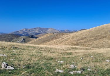
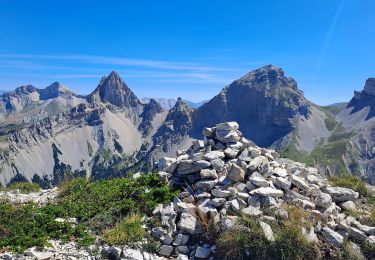
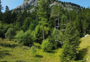
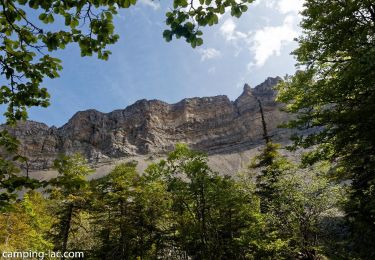
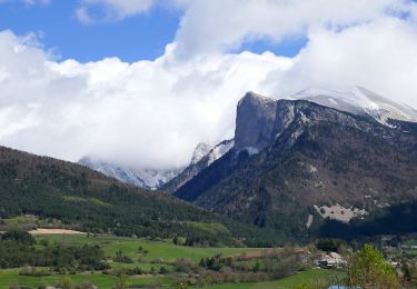
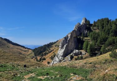
Trail Mountain bike Lus-la-Croix-Haute - Les chemins du soleil 2006 (3) - Photo

Les chemins du soleil 2006 (3)

 tracegps
tracegps

User

© OpenStreetMap contributors
Length
Length
64 km
Max alt
Max alt
1815 m
Uphill gradient
Uphill gradient
2196 m
Km-Effort
Km-Effort  
93 km
Min alt
Min alt
988 m
Downhill gradient
Downhill gradient
2158 m
Boucle
Boucle
No
Creation date :
2014-12-10 00:00:00.0
Updated on :
2014-12-10 00:00:00.0

(0 Reviews)

Mountain bike
Mountain bike
6h00
Difficulty : Very difficult

Scan this QR Code to open this trail in the SityTrail application

FREE GPS app for hiking

Logo SityTrail SityTrail

IGN / Geographical institutes

Download SityTrail from the App Store Download SityTrail from Google Play

Logo SityTrail SityTrail World

The world is yours!

Download SityTrail from the App Store Download SityTrail from Google Play Download SityTrail on Huawei AppGallery

About

Trail Mountain bike of 64 km to be discovered at Auvergne-Rhône-Alpes, Drôme, Lus-la-Croix-Haute. This trail is proposed by tracegps.

Description

3ème jour : Lus la Croix Haute --> Gap Il est 5h00 du mat', le réveil sonne et enfin on a fait une super nuit : 6 heures presque d'une traite... L'aurore est là, quelques nuages accrochent encore les sommets environnants, on se croirait dans un cratère coupé du monde. La suite est ICI

Elevation profile

Photos

Positioning

Country:
France
Region :
Auvergne-Rhône-Alpes
Department/Province :
Drôme
Municipality :
Lus-la-Croix-Haute
Location:
Unknown
Start:(UTM)
714968 ; 4949563 (31T) N.

Trails nearby

Trail Walking Lus-la-Croix-Haute - Pointe Feuillette - Photo
Walking
GUIDE
Marco05

Walking

Difficult
Lus-la-Croix-Haute, Auvergne-Rhône-Alpes, Drôme, France
10.5 km | 20 km-effort
4h 36min
Yes
Trail Walking Saint-Julien-en-Beauchêne - Chamousset - Photo
Walking
GUIDE
Marco05

Walking

Difficult
Saint-Julien-en-Beauchêne, Provence-Alpes-Côte d'Azur, Hautes-Alpes, France
11.2 km | 22 km-effort
5h 1min
Yes
Trail Walking Lus-la-Croix-Haute - R48 - Gorges des Amayères - Photo
Walking
GUIDE+

Walking

Easy
Lus-la-Croix-Haute, Auvergne-Rhône-Alpes, Drôme, France
10.3 km | 17.5 km-effort
3h 1min
No
Trail Walking Lus-la-Croix-Haute - R38   Col des Aiguilles depuis Lus - Photo
Walking
GUIDE+

Walking

Medium
Lus-la-Croix-Haute, Auvergne-Rhône-Alpes, Drôme, France
5.6 km | 15 km-effort
2h 53min
Yes
Trail Walking Lus-la-Croix-Haute - Le Rognon - Photo
Walking
GAPIAN43

Walking

Medium
(1)
Lus-la-Croix-Haute, Auvergne-Rhône-Alpes, Drôme, France
12.3 km | 22 km-effort
4h 33min
Yes
Trail Walking Saint-Julien-en-Beauchêne - ST JULIEN EN BEAUCHENE- VAUNIERES - Photo
Walking
BLANCHET

Walking

Medium
(1)
Saint-Julien-en-Beauchêne, Provence-Alpes-Côte d'Azur, Hautes-Alpes, France
9.4 km | 18.4 km-effort
3h 59min
No
Trail On foot Lus-la-Croix-Haute - 2024-04-17_Au fil du Buech - Photo
On foot
Christiancordin

On foot

Easy
Lus-la-Croix-Haute, Auvergne-Rhône-Alpes, Drôme, France
7.5 km | 12.2 km-effort
2h 45min
Yes
Trail On foot Lus-la-Croix-Haute - 2024-04-15_L'Aupillon - Photo
On foot
Christiancordin

On foot

Medium
Lus-la-Croix-Haute, Auvergne-Rhône-Alpes, Drôme, France
8.3 km | 14.5 km-effort
3h 17min
Yes
Trail Walking Saint-Julien-en-Beauchêne - tour des 4 cols - Photo
Walking
GuyVachet

Walking

Very difficult
Saint-Julien-en-Beauchêne, Provence-Alpes-Côte d'Azur, Hautes-Alpes, France
13.2 km | 24 km-effort
5h 25min
Yes


Close
My subscriptions