


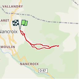

4.6 km | 6.2 km-effort


User


FREE GPS app for hiking
 SityTrail
IGN / Geographical institutes
SityTrail World
The world is yours!
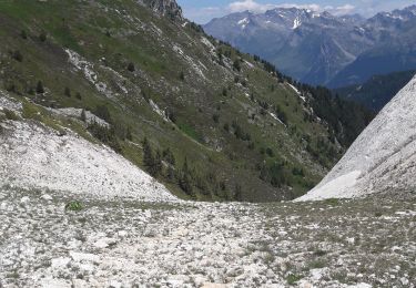
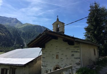
Trail Walking of 4.6 km to be discovered at Auvergne-Rhône-Alpes, Savoy, Peisey-Nancroix. This trail is proposed by gilsep.
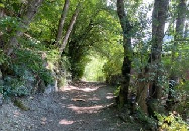
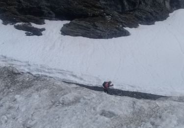
Départ au restaurant de la Vache. Suivre le chemin et les panneaux jaunes. Tout est bien indiqué. Pas de difficulté particulière. On peut poursuivre jusqu'au thalweg du ruisseau du Poncet mais c'est plus escarpé. Prudence !
Walking

On foot

On foot

On foot
Walking
Touring skiing

Walking
Walking
Walking