


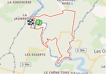

16.8 km | 21 km-effort

User


FREE GPS app for hiking
 SityTrail
IGN / Geographical institutes
SityTrail World
The world is yours!
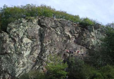
Trail Mountain bike of 9.7 km to be discovered at Pays de la Loire, Vendée, Mervent. This trail is proposed by tracegps.
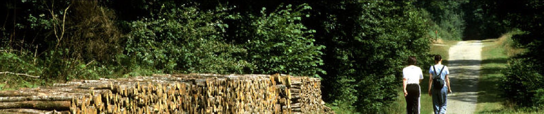
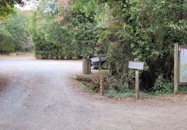
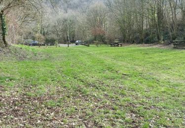
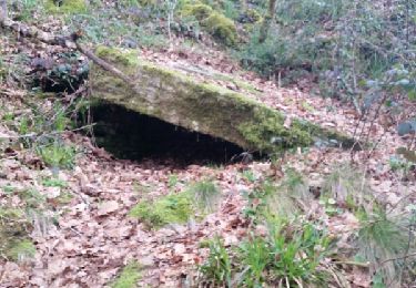
Le départ se fait du Plateau de la Grotte du Père Montfort. Ce circuit esr essentiellement forestier avec un interêt technique, 3 vues différentes sur les barrages et les traversées des 2 ponts principaux de la forêt: le pont de Diet et le pont du Déluge.


Walking
Walking
Walking
Walking
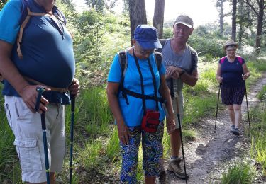
Walking
Walking
Walking
Walking
Mountain bike