Trail Walking Oô - Traversée Portillon - Pont du Prat par le lac de Caillaouas - Photo

Traversée Portillon - Pont du Prat par le lac de Caillaouas

 tracegps
tracegps

User

© OpenStreetMap contributors
Length
Length
14.9 km
Max alt
Max alt
2879 m
Uphill gradient
Uphill gradient
587 m
Km-Effort
Km-Effort  
27 km
Min alt
Min alt
1262 m
Downhill gradient
Downhill gradient
1866 m
Boucle
Boucle
No
Creation date :
2014-12-10 00:00:00.0
Updated on :
2014-12-10 00:00:00.0

(0 Reviews)

Walking
Walking
6h00
Difficulty : Difficult

Scan this QR Code to open this trail in the SityTrail application

FREE GPS app for hiking

Logo SityTrail SityTrail

IGN / Geographical institutes

Download SityTrail from the App Store Download SityTrail from Google Play

Logo SityTrail SityTrail World

The world is yours!

Download SityTrail from the App Store Download SityTrail from Google Play Download SityTrail on Huawei AppGallery

About

Trail Walking of 14.9 km to be discovered at Occitania, Haute-Garonne, Oô. This trail is proposed by tracegps.

Description

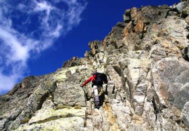
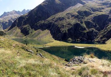
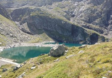
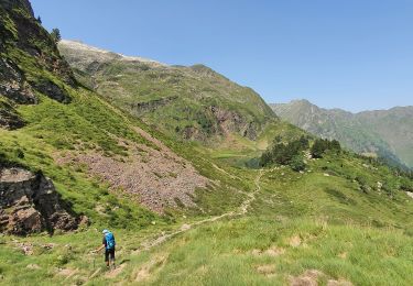
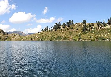
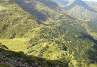
Voici une traversée intéressante que j’ai faite il y longtemps, et sans gps. J’ai donc tracé le parcours sur un logiciel de carto. Cette trace est donc uniquement indicative et le parcours réel peut varier, mais il est balisé par des « cairns ». On part du nouveau refuge du Portillon (2500m) pour rejoindre Pont du Prat à 15 km ! J’ai un excellent souvenir de cette traversée qu’il faut planifier avec prudence. En été, si possible car à cette altitude, on trouve beaucoup de neige. Avec des moyens de locomotion, car si vous laissez un véhicule aux Granges d’Astau, vous devez en laisser un autre à Pont du Prat. En prenant le temps qu’il faut, prévoir 2 jours, le premier pour monter Lac d’Oô, lac d’Espingo jusqu’au Portillon pour y faire étape. Enfin une bonne condition physique est nécessaire ainsi qu’une connaissance des chemins de haute randonnée (HRP).

Elevation profile

Positioning

Country:
France
Region :
Occitania
Department/Province :
Haute-Garonne
Municipality :
Location:
Unknown
Start:(UTM)
295954 ; 4731009 (31T) N.

Trails nearby

Trail Walking Oô - Pic des Spijeoles - Photo
Walking
tracegps

Walking

Very difficult
(1)
Oô, Occitania, Haute-Garonne, France
17.4 km | 37 km-effort
14h 0min
No
Trail On foot Castillon-de-Larboust - Lac Vert, Boucle par l'Est - Photo
On foot
GUIDE+

On foot

Easy
Castillon-de-Larboust, Occitania, Haute-Garonne, France
8.8 km | 19.5 km-effort
4h 26min
No
Trail Walking Castillon-de-Larboust - lac Charles, lac bleu, lac vert vallée du Lys  - Photo
Walking
GUIDE
lhomme.ph

Walking

Difficult
Castillon-de-Larboust, Occitania, Haute-Garonne, France
15.1 km | 32 km-effort
11h 17min
Yes
Trail Walking Castillon-de-Larboust - Cabane de la Coume - Photo
Walking
swp648

Walking

Difficult
Castillon-de-Larboust, Occitania, Haute-Garonne, France
9.1 km | 18.4 km-effort
3h 39min
Yes
Trail Walking Castillon-de-Larboust - lacs vert et bleu en boucle - Photo
Walking
chrisgps

Walking

Difficult
Castillon-de-Larboust, Occitania, Haute-Garonne, France
15.2 km | 32 km-effort
9h 17min
Yes
Trail On foot Castillon-de-Larboust - Grand circuit des lacs via le refuge du Maupas - Photo
On foot
GUIDE+

On foot

Medium
Castillon-de-Larboust, Occitania, Haute-Garonne, France
8 km | 20 km-effort
4h 38min
No
Trail On foot Castillon-de-Larboust - Le Pic de Circé - Photo
On foot
GUIDE+

On foot

Medium
Castillon-de-Larboust, Occitania, Haute-Garonne, France
10.3 km | 26 km-effort
5h 48min
No
Trail Walking Castillon-de-Larboust - Lac et cirque des grauès, lac vert  - Photo
Walking
jeromelacoste

Walking

Difficult
Castillon-de-Larboust, Occitania, Haute-Garonne, France
11.9 km | 25 km-effort
4h 23min
Yes
Trail Walking Castillon-de-Larboust - Cabane de Sarnès ,cirque des Crabioules - Photo
Walking
Rouzier

Walking

Medium
Castillon-de-Larboust, Occitania, Haute-Garonne, France
13.2 km | 29 km-effort
5h 42min
No


Close
My subscriptions