


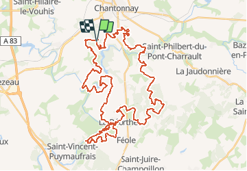

13.9 km | 17.6 km-effort


User


FREE GPS app for hiking
 SityTrail
IGN / Geographical institutes
SityTrail World
The world is yours!
Trail Mountain bike of 56 km to be discovered at Pays de la Loire, Vendée, Chantonnay. This trail is proposed by tracegps.
Le tracé de la Vendée Verte 2005, toujours très difficile !

Other activity
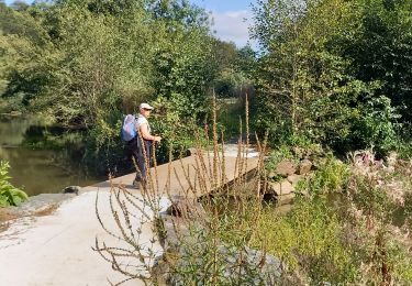
Walking

Walking
Walking

Road bike
Walking
Walking
Walking
Walking