Trail Walking Lugan - Lugan seconde ! - Photo

Lugan seconde !

 tracegps
tracegps

User

© OpenStreetMap contributors
Length
Length
16.6 km
Max alt
Max alt
234 m
Uphill gradient
Uphill gradient
287 m
Km-Effort
Km-Effort  
20 km
Min alt
Min alt
129 m
Downhill gradient
Downhill gradient
287 m
Boucle
Boucle
Yes
Creation date :
2014-12-10 00:00:00.0
Updated on :
2014-12-10 00:00:00.0

(0 Reviews)

Walking
Walking
3h10
Difficulty : Difficult

Scan this QR Code to open this trail in the SityTrail application

FREE GPS app for hiking

Logo SityTrail SityTrail

IGN / Geographical institutes

Download SityTrail from the App Store Download SityTrail from Google Play

Logo SityTrail SityTrail World

The world is yours!

Download SityTrail from the App Store Download SityTrail from Google Play Download SityTrail on Huawei AppGallery

About

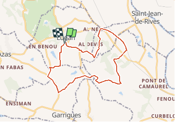
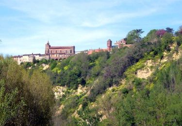
Trail Walking of 16.6 km to be discovered at Occitania, Tarn, Lugan. This trail is proposed by tracegps.

Description

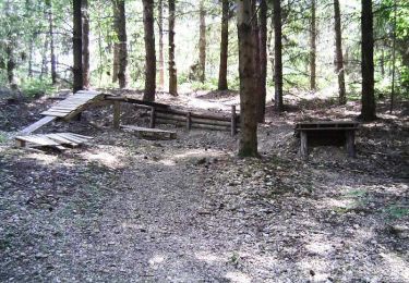
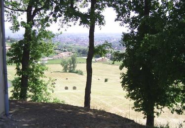
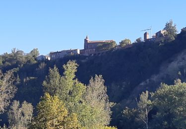
Toujours et encore Lugan, paisible village d'où il est si doux de partir gambader et si bon de revenir se détendre...

Elevation profile

Photos

Positioning

Country:
France
Region :
Occitania
Department/Province :
Tarn
Municipality :
Lugan
Location:
Unknown
Start:(Dec)
Start:(UTM)
396648 ; 4842741 (31T) N.

Trails nearby

Trail Running Azas - De Azas au ruisseau de Toupiac - Photo
Running
tracegps

Running

Medium
Azas, Occitania, Haute-Garonne, France
8.4 km | 9.9 km-effort
49min
Yes
Trail Running Azas - Les chemins d'Azas à Lugan - Photo
Running
tracegps

Running

Medium
Azas, Occitania, Haute-Garonne, France
14.2 km | 17.2 km-effort
1h 30min
Yes
Trail Mountain bike Azas - Les chemins d'Azas à Lugan - Photo
Mountain bike
tracegps

Mountain bike

Medium
Azas, Occitania, Haute-Garonne, France
14.2 km | 17.2 km-effort
1h 10min
Yes
Trail Walking Azas - Les chemins d'Azas à Lugan - Photo
Walking
tracegps

Walking

Medium
Azas, Occitania, Haute-Garonne, France
14.2 km | 17.2 km-effort
3h 30min
Yes
Trail Mountain bike Saint-Sulpice-la-Pointe - Forêt de Mézens - Photo
Mountain bike
tracegps

Mountain bike

Difficult
Saint-Sulpice-la-Pointe, Occitania, Tarn, France
32 km | 39 km-effort
2h 0min
Yes
Trail Mountain bike Saint-Sulpice-la-Pointe - Giroussens, Mézens - Photo
Mountain bike
tracegps

Mountain bike

Difficult
Saint-Sulpice-la-Pointe, Occitania, Tarn, France
56 km | 66 km-effort
3h 0min
Yes
Trail Walking Saint-Lieux-lès-Lavaur - Sentier de la plaine d'Agout Saint Lieux les Lavaur - Photo
Walking
tabouelle

Walking

Very easy
Saint-Lieux-lès-Lavaur, Occitania, Tarn, France
7.4 km | 8.1 km-effort
2h 53min
Yes
Trail Cycle Saint-Sulpice-la-Pointe - St-Sul, Buzet, Sivens, Rabastens - Photo
Cycle
tracegps

Cycle

Difficult
Saint-Sulpice-la-Pointe, Occitania, Tarn, France
79 km | 91 km-effort
3h 49min
Yes
Trail Running Giroussens - Autour de Giroussens - Photo
Running
tracegps

Running

Difficult
Giroussens, Occitania, Tarn, France
16.5 km | 18.7 km-effort
1h 30min
Yes


Close
My subscriptions