


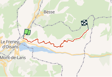


17.6 km | 38 km-effort

User


FREE GPS app for hiking
 SityTrail
IGN / Geographical institutes
SityTrail World
The world is yours!
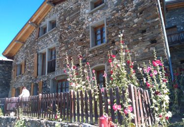
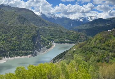
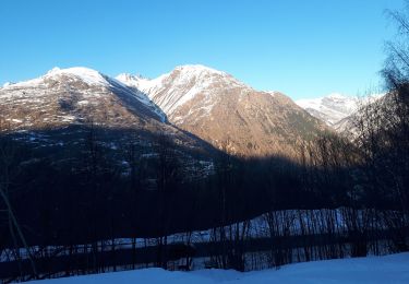
Trail Walking of 10.1 km to be discovered at Auvergne-Rhône-Alpes, Isère, Mizoën. This trail is proposed by yves12.


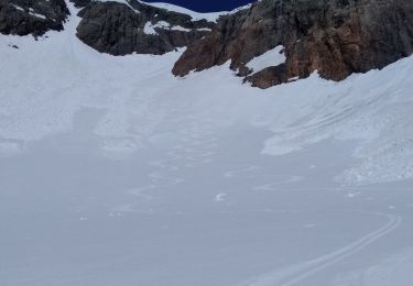
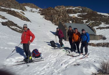
Touring skiing
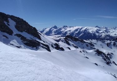
Touring skiing

Walking
Electric bike
Walking
Walking
Touring skiing
Touring skiing
Walking