


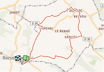

11.5 km | 13.4 km-effort

User


FREE GPS app for hiking
 SityTrail
IGN / Geographical institutes
SityTrail World
The world is yours!
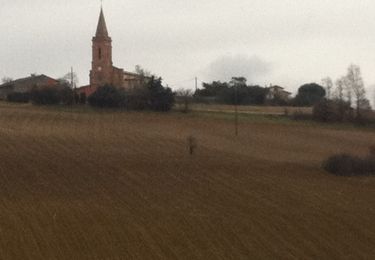
Trail Running of 10.4 km to be discovered at Occitania, Haute-Garonne, Bazus. This trail is proposed by tracegps.
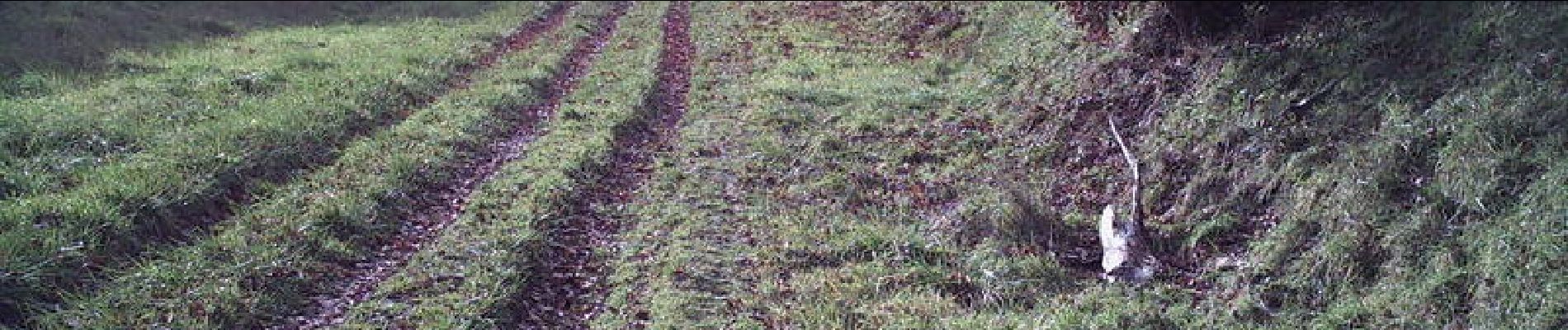
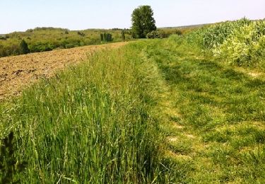
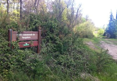
Un tour très agréable car jamais plat !! On alterne montées et descentes. Du goudron mais aussi des longs passages sur chemins agricoles. Après Vacquiers le retour par le Chemin du Poutou.


Walking
Walking
Mountain bike

On foot

Cycle
Running

Running

Mountain bike

Running