


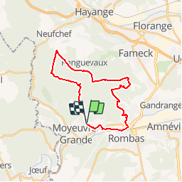


29 km | 38 km-effort


User


FREE GPS app for hiking
 SityTrail
IGN / Geographical institutes
SityTrail World
The world is yours!
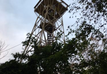
Trail Walking of 23 km to be discovered at Grand Est, Moselle, Rosselange. This trail is proposed by Greg813.
Ballade en la forêt de Moyeuvre. La première partie peut convenir à toute la famille, la fin est un peu plus sportive, tant dans la nature des chemins que le dénivelé.

Mountain bike

On foot

Walking
Walking

Walking
Walking
On foot

On foot
Other activity