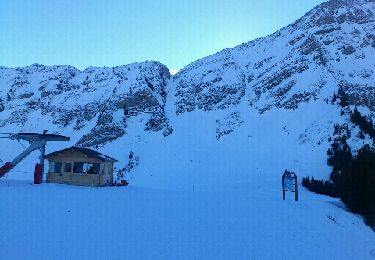
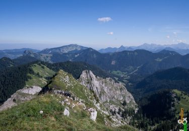
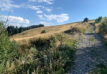
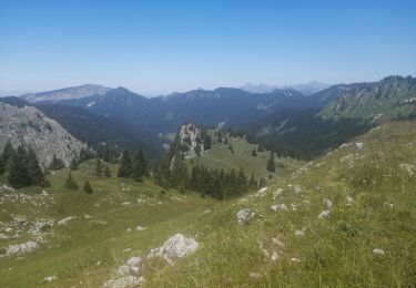
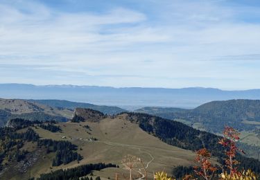
Trail Walking Bellevaux - Chevrerie-Mont Billiat - Photo
 mpignon
mpignon

User

© OpenStreetMap contributors
Length
Length
28 km
Max alt
Max alt
1878 m
Uphill gradient
Uphill gradient
2136 m
Km-Effort
Km-Effort  
57 km
Min alt
Min alt
965 m
Downhill gradient
Downhill gradient
2299 m
Boucle
Boucle
No
Creation date :
2018-10-06 07:45:31.328
Updated on :
2018-10-06 07:45:31.328

(0 Reviews)

Walking
Walking
7h42
Difficulty : Medium

Scan this QR Code to open this trail in the SityTrail application

FREE GPS app for hiking

Logo SityTrail SityTrail

IGN / Geographical institutes

Download SityTrail from the App Store Download SityTrail from Google Play

Logo SityTrail SityTrail World

The world is yours!

Download SityTrail from the App Store Download SityTrail from Google Play Download SityTrail on Huawei AppGallery

About

Trail Walking of 28 km to be discovered at Auvergne-Rhône-Alpes, Upper Savoy, Bellevaux. This trail is proposed by mpignon.

Elevation profile

Positioning

Country:
France
Region :
Auvergne-Rhône-Alpes
Department/Province :
Upper Savoy
Municipality :
Bellevaux
Location:
Unknown
Start:(UTM)
313070 ; 5120124 (32T) N.

Trails nearby

Trail Nordic walking Bellevaux - tour du roc - Photo
Nordic walking
PierreBellevaux

Nordic walking

Medium
(1)
Bellevaux, Auvergne-Rhône-Alpes, Upper Savoy, France
26 km | 53 km-effort
4h 7min
Yes
Trail Walking Bellevaux - La Haute Pointe 1968m, depuis le Plan des Rasses - Photo
Walking
tracegps

Walking

Medium
(1)
Bellevaux, Auvergne-Rhône-Alpes, Upper Savoy, France
9.8 km | 21 km-effort
5h 30min
Yes
Trail Walking Bellevaux - Pointe d'Ireuse - Photo
Walking
DanElise

Walking

Medium
(2)
Bellevaux, Auvergne-Rhône-Alpes, Upper Savoy, France
11.3 km | 23 km-effort
5h 47min
Yes
Trail Walking Taninges - Balade autour de Beauregard - Photo
Walking
000151.528cee2ba5ea499bb7720e62b4a3eb52.0056

Walking

Medium
Taninges, Auvergne-Rhône-Alpes, Upper Savoy, France
5.9 km | 10.5 km-effort
1h 39min
Yes
Trail Walking Mieussy - le tour de la haute pointe  - Photo
Walking
Vero7684

Walking

Medium
Mieussy, Auvergne-Rhône-Alpes, Upper Savoy, France
6.4 km | 12.7 km-effort
3h 38min
Yes
Trail Walking Bellevaux - 2021-10-15 La Pointe de La Gay - Photo
Walking
patpounet73

Walking

Medium
Bellevaux, Auvergne-Rhône-Alpes, Upper Savoy, France
11.2 km | 21 km-effort
5h 5min
Yes
Trail Touring skiing Mieussy - CHAVASSE + CHAVAN+ HTE POINTE - Photo
Touring skiing
leclaude74

Touring skiing

Difficult
Mieussy, Auvergne-Rhône-Alpes, Upper Savoy, France
9.6 km | 22 km-effort
2h 26min
Yes
Trail Other activity Bellevaux - Rando pointe de La Gay  - Photo
Other activity
leclaude74

Other activity

Medium
Bellevaux, Auvergne-Rhône-Alpes, Upper Savoy, France
10.9 km | 23 km-effort
4h 39min
Yes
Trail Snowshoes Bellevaux - vers tres le saix - Photo
Snowshoes
michelpratesi

Snowshoes

Medium
(1)
Bellevaux, Auvergne-Rhône-Alpes, Upper Savoy, France
7.2 km | 13.1 km-effort
4h 18min
No


Close
My subscriptions