


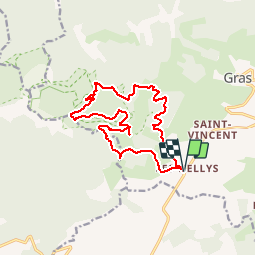

18.4 km | 28 km-effort

User


FREE GPS app for hiking
 SityTrail
IGN / Geographical institutes
SityTrail World
The world is yours!
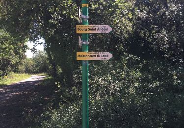
Trail Mountain bike of 15.5 km to be discovered at Auvergne-Rhône-Alpes, Ardèche, Gras. This trail is proposed by Gouze13.
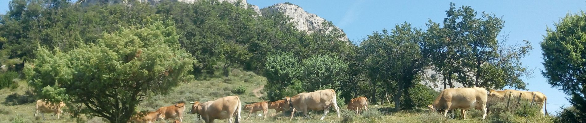
poussage sur une trentaine de mètres à la descente pour passer la barre permettant de rejoindre le col d'Eyrolle.
Sinon, pas de difficultés.

Walking
Walking
Cycle
Walking
Walking
Walking

Walking
Walking
Walking