Home
World
NEW
Premium
Shop
Trails
Articles
Help and support
Français
English
Nederlands
Español
Italiano
Deutsch
Log in
Home
World
Premium
Shop
Trails
Articles
Help and support
SityTrail
>
Points of interest
>
Chemin139
SityTrail
>
Points of interest
>
Chemin139
Chemin139
Description
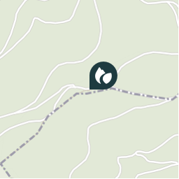
Latitude: 48.1116306782 Longitude : 7.2571349144
Photos
Chemin139 can be discovered in the following trails...
DoBelle
Trois Epis 1
Walking
Medium
Ammerschwihr, Grand Est, Haut-Rhin, France
19.1 km | 30 km-effort
Unknown
No
DoBelle
User
©
OpenStreetMap
contributors
Positioning
Country:
France
Region :
Grand Est
Department/Province :
Haut-Rhin
Municipality :
Ammerschwihr
Location:
Unknown
Positioning
48.1116306782 / 7.257134914399999
Creation date :
2018-04-12 23:48:24.905
Updated on
2018-04-12 23:48:24.905
(0 Reviews)
Comments
Please log in to post a review or rate the element
Points of interest nearby
DoBelle
Chemin140
AMMERSCHWIHR
DoBelle
Chemin1402
AMMERSCHWIHR
DoBelle
Chemin et Sentier81
AMMERSCHWIHR
DoBelle
Sentier365
KATZENTHAL
DoBelle
Chemin138
AMMERSCHWIHR
DoBelle
Sentier366
NIEDERMORSCHWIHR
DoBelle
Sentier367
NIEDERMORSCHWIHR
DoBelle
Galtz
AMMERSCHWIHR
Close
My subscriptions