Point of interest Waimes - The High Fens - Photo

The High Fens

Description

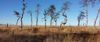
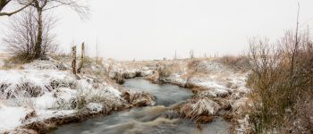
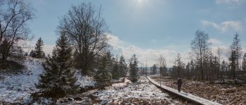
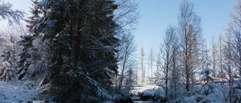
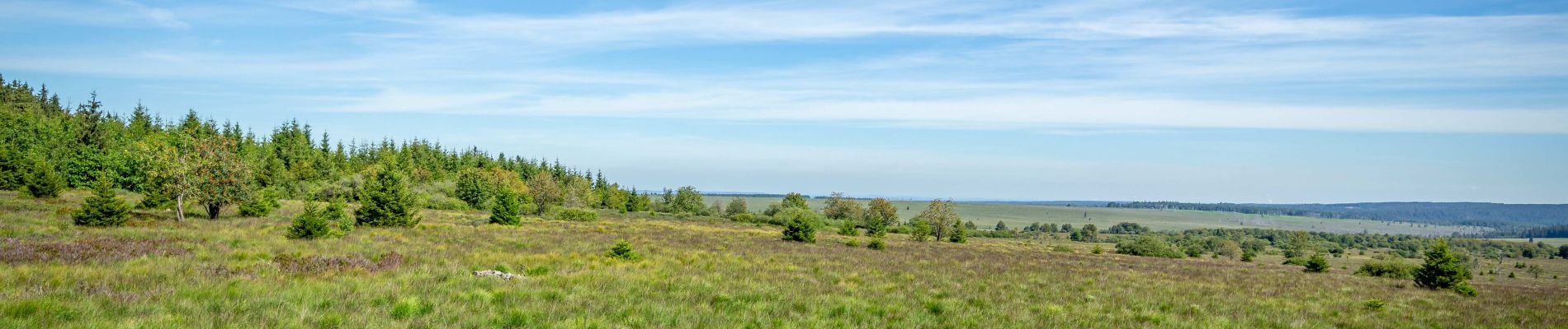
This vast area covers some 5,000 hectares and is the largest protected area in our country. The fagnard landscape is exceptional for the richness of its flora and fauna. The fens were formed about 10,000 years ago at the end of the last ice age, on the impermeable schistose soils of a very ancient ridge. The highest point of the High Fens is now 694 m above sea level, making it the highest in Belgium.

Photos

The High Fens can be discovered in the following trails...
Trail Walking Jalhay - Chemin des Sources |stage 5 SOLWASTER - JALHAY - Photo
Walking
PRO

Walking

Very difficult
(2)
Jalhay, Wallonia, Liège, Belgium
17.1 km | 22 km-effort
4h 53min
No
Trail Walking Spa - Chemin des Sources | Full itinerary - Photo
Walking
PRO

Walking

Very difficult
Spa, Wallonia, Liège, Belgium
161 km | 212 km-effort
48h 15min
Yes

Découvrez votre nature PRO

© OpenStreetMap contributors

Positioning

Country:
Belgium
Region :
Wallonia
Department/Province :
Liège
Municipality :
Waimes
Location:
Robertville
Creation date :
2023-03-21 15:38:27.448
Updated on
2023-05-16 13:30:52.091

(0 Reviews)

Nature reserves

Points of interest nearby

Point of interest Baelen - Unnamed POI - Photo
Auberge De Jeunesse De Malmedy
BAELEN 
Point of interest Waimes - Point 1 - Photo
GerardBouche
WAIMES 
Point of interest Baelen - Au bord de la Helle - Photo
jacqueschouffart
Point of interest Baelen - Caillebotis le long de la Helle - Photo
jacqueschouffart
Point of interest Waimes - Le pont Anna Marie Libert - Photo
jacqueschouffart
Point of interest Baelen - Pont Marie-Anne Libert - Photo
GR Rando
Point of interest Baelen - Pont Marie-Anne Libert - Photo
GR Rando
Point of interest Baelen - Pont Marie-Anne Libert - Photo
GR Rando


Close
My subscriptions