Home
World
NEW
Premium
Shop
Trails
Articles
Help and support
Français
English
Nederlands
Español
Italiano
Deutsch
Log in
Home
World
Premium
Shop
Trails
Articles
Help and support
SityTrail
>
Points of interest
>
SityTrail
>
Points of interest
>
Description
Photos
can be discovered in the following trails...
loic09
D16 - GR 10
Walking
Medium
Cauterets, Occitania, Hautespyrenees, France
22 km | 37 km-effort
7h 22min
No
loic09
User
©
OpenStreetMap
contributors
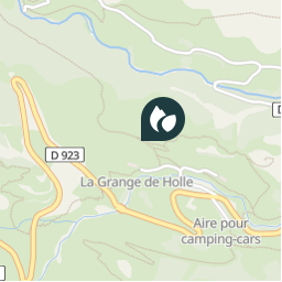
Positioning
Country:
France
Region :
Occitania
Department/Province :
Hautespyrenees
Municipality :
Gavarnie-Gèdre
Location:
Gavarnie
Positioning
42.740121774788854 / -0.0223428010940552
Creation date :
2018-04-10 22:16:38.931
Updated on
2018-04-10 22:16:38.931
(0 Reviews)
Campsites
Comments
Please log in to post a review or rate the element
Points of interest nearby
laolong
Refuge de la Grange de Holle
GAVARNIE-GÈDRE
pmauvieux
Point 1
GAVARNIE-GÈDRE
tracegps
D128
GAVARNIE-GÈDRE
laolong
Turon de Tesy
GAVARNIE-GÈDRE
tracegps
depart
GAVARNIE-GÈDRE
tracegps
GR10
GAVARNIE-GÈDRE
tracegps
Gavarnie
GAVARNIE-GÈDRE
montsegur
Parking Maison du Parc
GAVARNIE-GÈDRE
Close
My subscriptions