Point of interest Saint-Jacques-d'Ambur - Point repère 3 - Photo

Point repère 3

Description

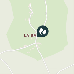
3. Prendre la route à gauche, longer le couderc (croix, lavoir, abreuvoir) et à  la patte d'oie,  descendre à gauche sur la route. A l'entrée de la forêt sectionale de La Barre, suivre à gauche une large piste. A la fourche aller tout droit et, au croisement de quatre chemins, descendre en face. Franchir le ruisseau  des Côtes et remonter sur sa rive droite dans un bois de résineux. Au croisement en T prendre à gauche un large chemin forestier jusqu'à la D61 (aire de pique-nique).

Photos

Point repère 3 can be discovered in the following trails...
Trail Walking  - Sans titre - Photo
Walking
Gegetop

Walking

Medium
(2)
, Auvergne-Rhône-Alpes, Puy-de-Dôme, France
12.8 km | 17.2 km-effort
3h 39min
Yes
 Gegetop
Gegetop

User

© OpenStreetMap contributors

Positioning

Country:
France
Region :
Auvergne-Rhône-Alpes
Department/Province :
Puy-de-Dôme
Municipality :
Saint-Jacques-d'Ambur
Location:
Unknown
Creation date :
2018-08-20 07:44:01.917
Updated on
2018-08-20 07:44:01.917

(0 Reviews)


Points of interest nearby

Point of interest Saint-Jacques-d'Ambur - Point repère 4 - Photo
Gegetop
SAINT-JACQUES-D'AMBUR 
Point of interest Saint-Jacques-d'Ambur - Point repère 2 - Photo
Gegetop
SAINT-JACQUES-D'AMBUR 
Point of interest Saint-Jacques-d'Ambur - Point repère 1 - Photo
Gegetop
SAINT-JACQUES-D'AMBUR 
Point of interest  - Départ - Photo
Gegetop
Point of interest La Goutelle - Le moulin de Quarte en ruine. - Photo
Gegetop
Point of interest Saint-Priest-des-Champs - départ - Photo
tracegps
SAINT-PRIEST-DES-CHAMPS 
Point of interest Saint-Priest-des-Champs - départ - Photo
tracegps
SAINT-PRIEST-DES-CHAMPS 
Point of interest Montfermy - Unnamed POI - Photo
jbc63
MONTFERMY 


Close
My subscriptions