![](/images/other/stat-length.png)
- Trails
- Cycle
- France
- Pays de la Loire
- Sarthe
- La Chartre-sur-le-Loir
La Chartre-sur-le-Loir, Sarthe, Cycle: Best trails, routes and walks
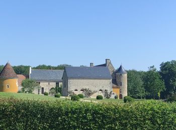
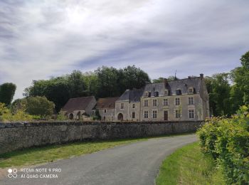
La Chartre-sur-le-Loir: Discover the best trails: 1 cycle, 2 hybrid bike and 1 electric bike. All these trails, routes and outdoor activities are available in our SityTrail applications for smartphones and tablets.
The best trails (2)
![Trail Hybrid bike La Chartre-sur-le-Loir - Le Loir, la Dême et le Long (CIRCUIT) - Photo](https://media.geolcdn.com/t/350/260/ext.jpg?maxdim=2&url=https%3A%2F%2Fmedia.geolcdn.com%2Ff%2F7d2e7d67-7c27-4863-a718-f3bcfd7e4298.jpg)
![Hybrid bike Hybrid bike](https://static1.geolcdn.com/sitytour/trail-icons/203.png)
Km
#1 - Le Loir, la Dême et le Long (CIRCUIT)
Hybrid bike
Medium
La Chartre-sur-le-Loir,
Pays de la Loire,
Sarthe,
France
![](/images/other/stat-length.png)
59 km | 67 km-effort
3h 20min
![](https://static1.geolcdn.com/siteimages/upload/files/1508320355ic_sort_den_pos_24dp.png)
650 m
![](https://static1.geolcdn.com/siteimages/upload/files/1508320355ic_sort_den_neg_24dp.png)
648 m
![](https://static1.geolcdn.com/siteimages/upload/files/16400158638029165_repeat_loop_refresh_sync_direction_icon.png)
Yes
danaubrac
![Trail Hybrid bike La Chartre-sur-le-Loir - Le Loir, la Dême et le Long (CIRCUIT) - Photo](https://media.geolcdn.com/t/350/260/ext.jpg?maxdim=2&url=https%3A%2F%2Fmedia.geolcdn.com%2Ff%2F7d2e7d67-7c27-4863-a718-f3bcfd7e4298.jpg)
![Hybrid bike Hybrid bike](https://static1.geolcdn.com/sitytour/trail-icons/203.png)
Km
#2 - Le Loir, la Dême et le Long (CIRCUIT)
Hybrid bike
Medium
La Chartre-sur-le-Loir,
Pays de la Loire,
Sarthe,
France
![](/images/other/stat-length.png)
59 km | 67 km-effort
3h 20min
![](https://static1.geolcdn.com/siteimages/upload/files/1508320355ic_sort_den_pos_24dp.png)
650 m
![](https://static1.geolcdn.com/siteimages/upload/files/1508320355ic_sort_den_neg_24dp.png)
648 m
![](https://static1.geolcdn.com/siteimages/upload/files/16400158638029165_repeat_loop_refresh_sync_direction_icon.png)
Yes
danaubrac
![Trail Cycle La Chartre-sur-le-Loir - Vignes en Loir - Photo](https://media.geolcdn.com/t/350/260/ext.jpg?maxdim=2&url=https%3A%2F%2Fmedia.geolcdn.com%2Ff%2F8492b76f-fd1f-41ef-8f28-bf420ef80d39.jpg)
![Cycle Cycle](https://static1.geolcdn.com/sitytour/trail-icons/200.png)
Km
#3 - Vignes en Loir
Cycle
Medium
La Chartre-sur-le-Loir,
Pays de la Loire,
Sarthe,
France
![](/images/other/stat-length.png)
55 km | 64 km-effort
Unknown
![](https://static1.geolcdn.com/siteimages/upload/files/1508320355ic_sort_den_pos_24dp.png)
632 m
![](https://static1.geolcdn.com/siteimages/upload/files/1508320355ic_sort_den_neg_24dp.png)
631 m
![](https://static1.geolcdn.com/siteimages/upload/files/16400158638029165_repeat_loop_refresh_sync_direction_icon.png)
Yes
danaubrac
![Trail Cycle La Chartre-sur-le-Loir - Vignes en Loir - Photo](https://media.geolcdn.com/t/350/260/ext.jpg?maxdim=2&url=https%3A%2F%2Fmedia.geolcdn.com%2Ff%2F8492b76f-fd1f-41ef-8f28-bf420ef80d39.jpg)
![Cycle Cycle](https://static1.geolcdn.com/sitytour/trail-icons/200.png)
Km
#4 - Vignes en Loir
Cycle
Medium
La Chartre-sur-le-Loir,
Pays de la Loire,
Sarthe,
France
![](/images/other/stat-length.png)
55 km | 64 km-effort
Unknown
![](https://static1.geolcdn.com/siteimages/upload/files/1508320355ic_sort_den_pos_24dp.png)
632 m
![](https://static1.geolcdn.com/siteimages/upload/files/1508320355ic_sort_den_neg_24dp.png)
631 m
![](https://static1.geolcdn.com/siteimages/upload/files/16400158638029165_repeat_loop_refresh_sync_direction_icon.png)
Yes
danaubrac
4 trails displayed on 2
FREE GPS app for hiking