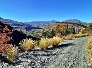
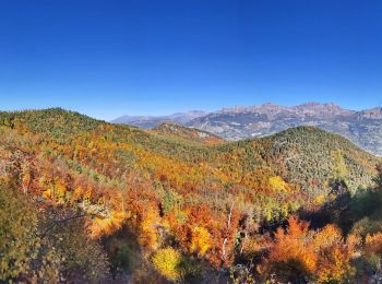
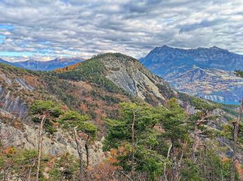
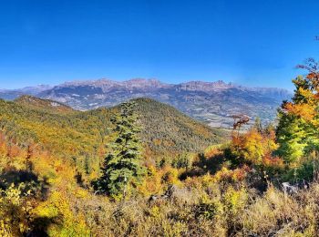
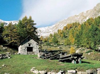
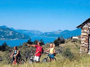
Remollon, Hautes-Alpes, Cycle: Best trails, routes and walks

1 comments

Remollon: Discover the best trails: 4 mountain bike and 3 electric bike. All these trails, routes and outdoor activities are available in our SityTrail applications for smartphones and tablets.


The best trails (7)
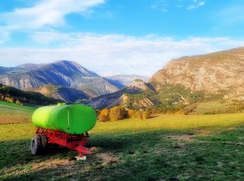
Trail Electric bike Remollon - Le Puy et la Chapelle Saint-Sixte Via Remollon (Vélo) - Photo
Electric bike 22.513
Km

Electric bike

Difficult
Remollon, Provence-Alpes-Côte d'Azur, Hautes-Alpes, France
23 km | 31 km-effort
2h 7min
621 m
620 m
Yes
PapouBertrand

Trail Electric bike Remollon - VTT-ae - Mont Colombis via Valserres - Croix des prés - Photo
Electric bike 37.579
Km

Electric bike

Difficult
Remollon, Provence-Alpes-Côte d'Azur, Hautes-Alpes, France
38 km | 58 km-effort
4h 56min
1509 m
1517 m
Yes
PapouBertrand

Trail Mountain bike Remollon - VTT-ae - La Croix des Prés avec V&H - Photo
Mountain bike 44.563
Km

Mountain bike

Very difficult
Remollon, Provence-Alpes-Côte d'Azur, Hautes-Alpes, France
45 km | 64 km-effort
4h 45min
1493 m
1495 m
Yes
PapouBertrand

Trail Electric bike Remollon - VTT-ae - Remollon - Vière - Photo
Electric bike 34.373
Km

Electric bike

Medium
Remollon, Provence-Alpes-Côte d'Azur, Hautes-Alpes, France
34 km | 47 km-effort
3h 0min
942 m
943 m
Yes
PapouBertrand

Trail Mountain bike Remollon - VTT - Remollon - Vière - Col Lebraut - Rousset - Remollon - Photo
Mountain bike 36.829
Km

Mountain bike

Very difficult
Remollon, Provence-Alpes-Côte d'Azur, Hautes-Alpes, France
37 km | 53 km-effort
3h 13min
1217 m
1216 m
Yes
PapouBertrand

Trail Mountain bike Remollon - Espace VTT FFC de Serre-Ponçon - Durance - Circuit n°18 - Le Bas Col - Photo
Mountain bike 5.998
Km

Mountain bike

Difficult
Remollon, Provence-Alpes-Côte d'Azur, Hautes-Alpes, France
6 km | 11.9 km-effort
40min
574 m
36 m
No
tracegps

Trail Mountain bike Remollon - Espace VTT FFC de Serre-Ponçon - Durance - Circuit n°17 - Rousset - Photo
Mountain bike 9.569
Km

Mountain bike

Medium
Remollon, Provence-Alpes-Côte d'Azur, Hautes-Alpes, France
9.6 km | 10.6 km-effort
40min
79 m
75 m
No
tracegps

7 trails displayed on 7

FREE GPS app for hiking

Logo SityTrail SityTrail

IGN / Geographical institutes

Download SityTrail from the App Store Download SityTrail from Google Play

Logo SityTrail SityTrail World

The world is yours!

Download SityTrail from the App Store Download SityTrail from Google Play Download SityTrail on Huawei AppGallery

Activities

Close
My subscriptions