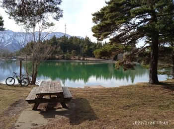
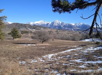
Saint-Bonnet-en-Champsaur, Saint-Bonnet-en-Champsaur, Cycle: Best trails, routes and walks

Saint-Bonnet-en-Champsaur: Discover the best trails: 2 cycle, 1 road bike, 5 mountain bike and 4 electric bike. All these trails, routes and outdoor activities are available in our SityTrail applications for smartphones and tablets.


The best trails (12)
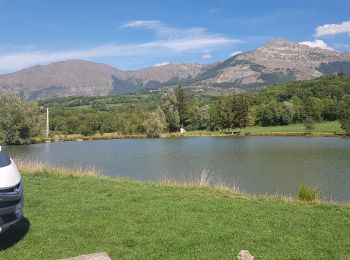
Trail Mountain bike Saint-Bonnet-en-Champsaur - lac barbeyroux - Photo
Mountain bike 12.271
Km

Mountain bike

Very easy
Saint-Bonnet-en-Champsaur, Provence-Alpes-Côte d'Azur, Hautes-Alpes, France
12.3 km | 17.4 km-effort
1h 22min
382 m
382 m
Yes
joellegoupillat

Trail Electric bike Saint-Bonnet-en-Champsaur - St Bonnet ,lac de roaffan - Photo
Electric bike 27.826
Km

Electric bike

Easy
Saint-Bonnet-en-Champsaur, Provence-Alpes-Côte d'Azur, Hautes-Alpes, France
28 km | 38 km-effort
2h 25min
747 m
745 m
Yes
Bonet

Trail Electric bike Saint-Bonnet-en-Champsaur - St Bonnet chaillol - Photo
Electric bike 22.822
Km

Electric bike

Easy
Saint-Bonnet-en-Champsaur, Provence-Alpes-Côte d'Azur, Hautes-Alpes, France
23 km | 32 km-effort
2h 29min
712 m
714 m
Yes
Bonet

Trail Electric bike Saint-Bonnet-en-Champsaur - circuit 30 , - Photo
Electric bike 19.568
Km

Electric bike

Medium
Saint-Bonnet-en-Champsaur, Provence-Alpes-Côte d'Azur, Hautes-Alpes, France
19.6 km | 30 km-effort
2h 11min
787 m
788 m
Yes
Bonet

Trail Electric bike Saint-Bonnet-en-Champsaur - St bo / lac du sautet  - Photo
Electric bike 51.175
Km

Electric bike

Medium
Saint-Bonnet-en-Champsaur, Provence-Alpes-Côte d'Azur, Hautes-Alpes, France
51 km | 66 km-effort
4h 7min
1102 m
1106 m
Yes
Bonet

Trail Mountain bike Saint-Bonnet-en-Champsaur - plan d eau champsaur - Photo
Mountain bike 13.652
Km

Mountain bike

Easy
Saint-Bonnet-en-Champsaur, Provence-Alpes-Côte d'Azur, Hautes-Alpes, France
13.7 km | 17 km-effort
1h 10min
250 m
250 m
Yes
ericf64

Trail Road bike Saint-Bonnet-en-Champsaur - 20220811_Cyclisme Chabotte Pont St-Léger Ancelle - Photo
Road bike 43.379
Km

Road bike

Medium
Saint-Bonnet-en-Champsaur, Provence-Alpes-Côte d'Azur, Hautes-Alpes, France
43 km | 52 km-effort
3h 10min
678 m
678 m
Yes
GALLETB

Trail Mountain bike Saint-Bonnet-en-Champsaur - départ plan d'eau canal de malcros retour plein d'eau - Photo
Mountain bike 25.597
Km

Mountain bike

Medium
Saint-Bonnet-en-Champsaur, Provence-Alpes-Côte d'Azur, Hautes-Alpes, France
26 km | 36 km-effort
4h 34min
802 m
803 m
Yes
bernard 13

Trail Mountain bike Saint-Bonnet-en-Champsaur - St Bonnet a St Léger  - Photo
Mountain bike 30.331
Km

Mountain bike

Medium
Saint-Bonnet-en-Champsaur, Provence-Alpes-Côte d'Azur, Hautes-Alpes, France
30 km | 38 km-effort
2h 7min
582 m
576 m
Yes
Bonet

Trail Mountain bike Saint-Bonnet-en-Champsaur - saint bonnet en champsaur/col bayard - Photo
Mountain bike 36.871
Km

Mountain bike

Medium
Saint-Bonnet-en-Champsaur, Provence-Alpes-Côte d'Azur, Hautes-Alpes, France
37 km | 46 km-effort
6h 41min
662 m
660 m
Yes
bcombes38

Trail Cycle Saint-Bonnet-en-Champsaur - saint_bonnet_en_champsaur_boucle_53_kms 1 - Photo
Cycle 53.205
Km

Cycle

Medium
Saint-Bonnet-en-Champsaur, Provence-Alpes-Côte d'Azur, Hautes-Alpes, France
53 km | 71 km-effort
Unknown
1351 m
1352 m
Yes
didier13190

Trail Cycle Saint-Bonnet-en-Champsaur - Direction Le Vieux Chaillol - Photo
Cycle 23.014
Km

Cycle

Difficult
Saint-Bonnet-en-Champsaur, Provence-Alpes-Côte d'Azur, Hautes-Alpes, France
23 km | 29 km-effort
1h 42min
517 m
149 m
No
lviallet

12 trails displayed on 12

FREE GPS app for hiking

Logo SityTrail SityTrail

IGN / Geographical institutes

Download SityTrail from the App Store Download SityTrail from Google Play

Logo SityTrail SityTrail World

The world is yours!

Download SityTrail from the App Store Download SityTrail from Google Play Download SityTrail on Huawei AppGallery

Activities

Close
My subscriptions