


25 km | 37 km-effort
Haut-Rhin: Discover the best trails: 63 cycle, 58 road bike, 734 mountain bike, 48 hybrid bike, 28 bicycle tourism and 195 electric bike. All these trails, routes and outdoor activities are available in our SityTrail applications for smartphones and tablets.
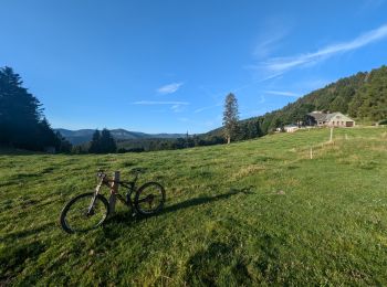
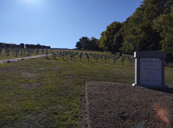
Mountain bike


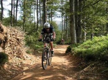
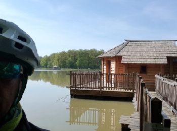
Mountain bike
• avec papa voie romaine, sentier des bunkers
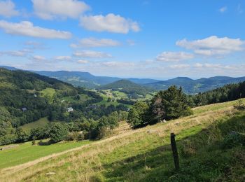
Mountain bike

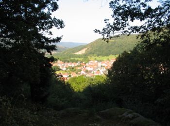
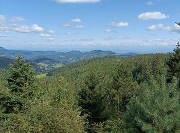
Mountain bike
Mountain bike
Mountain bike
Road bike
Mountain bike
Mountain bike
Mountain bike
• Super sortie sous le soleil et la chaleur avec Papa & Ange.
Mountain bike
• Longue descente depuis les crêtes jusqu'au vignoble. Départ de Wintzenheim le dimanche à 8h30 avec le bus de la nave...
Mountain bike
• Départ au parking du Poisson Rouge (à la sortie de Wintzenheim en direction de Munster). Prendre la piste cyclable pu...
Mountain bike
Mountain bike
Mountain bike
Electric bike
Electric bike
Electric bike
Electric bike
Electric bike
20 trails displayed on 1024
FREE GPS app for hiking
 SityTrail
IGN / Geographical institutes
SityTrail World
The world is yours!