


21 km | 36 km-effort
Hauteluce: Discover the best trails: 31 mountain bike and 19 electric bike. All these trails, routes and outdoor activities are available in our SityTrail applications for smartphones and tablets.
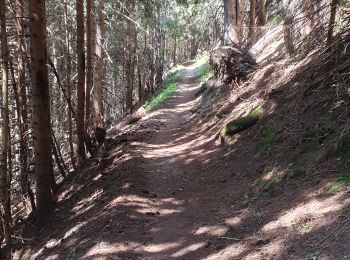
Mountain bike


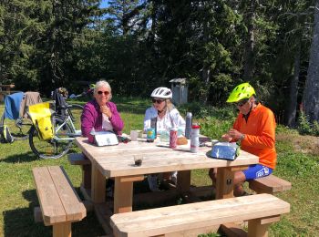
Electric bike
Electric bike
Electric bike
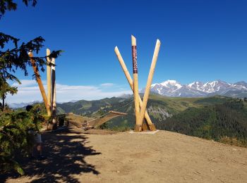
Mountain bike
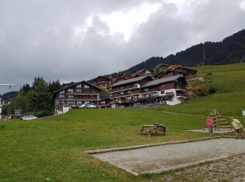
Mountain bike
Mountain bike
Electric bike
Mountain bike

Mountain bike
Mountain bike
• 2016.08.08-34,8km-Saisies Beneton Very Rochebrune
Mountain bike
Mountain bike
• Col des Saisies-Bisanne-Direction la Croix de Coste-Direction la retenue d'eau sous Bisanne-Chemin des Marmottes-Refu...
Mountain bike
Mountain bike
Electric bike
Electric bike
Electric bike
Electric bike
Mountain bike
20 trails displayed on 49
FREE GPS app for hiking
 SityTrail
IGN / Geographical institutes
SityTrail World
The world is yours!