


60 km | 71 km-effort
Roanne: Discover the best trails: 1 road bike, 37 mountain bike, 1 hybrid bike and 1 bicycle tourism. All these trails, routes and outdoor activities are available in our SityTrail applications for smartphones and tablets.

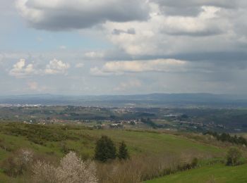
Mountain bike


• CHARLIEU (42190) Parking et départ du Couvent des Cordeliers sur la route de Saint-Nizier. Le parcours ne traverse pa...
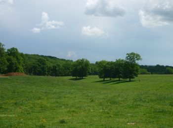
Mountain bike
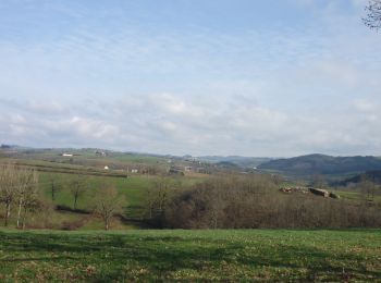
Mountain bike
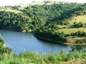
Mountain bike
Mountain bike
Mountain bike
Mountain bike
• Départ du parking du Cirra. Parcours réalisé en VTTAE
Mountain bike
Mountain bike
Mountain bike
Mountain bike
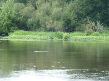
• Départ sous le pont d'Aiguilly rive droite. Il n'y a pas de difficultés particulières mais circuit gras et boueux pa...
Mountain bike
Mountain bike
Hybrid bike
Mountain bike
Mountain bike
• Départ de la place de la Loire. Circuit réalisé en VTTAE
Mountain bike
Mountain bike
Mountain bike
Mountain bike
20 trails displayed on 40
FREE GPS app for hiking
 SityTrail
IGN / Geographical institutes
SityTrail World
The world is yours!