Grand County, Utah: Best trails, routes and walks

Grand County: Discover the best trails: 9 hiking trails. All these trails, routes and outdoor activities are available in our SityTrail applications for smartphones and tablets.


The best trails (12)
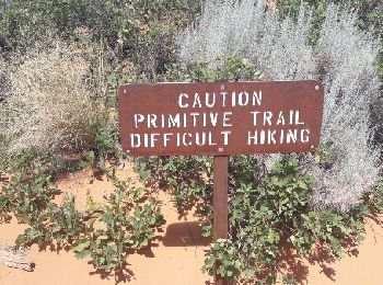
Trail Walking  - devil's Garden  - Photo
Walking 10.731
Km

Walking

Medium
, Utah, Grand County, United States
10.7 km | 14.4 km-effort
3h 14min
273 m
277 m
Yes
phi14

• superbe randonnée. faire le primitive trail à la descente.
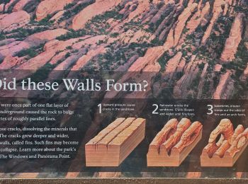
Trail Walking  - 2024 Arches NP Devil's garden - Photo
Walking 10.575
Km

Walking

Very difficult
, Utah, Grand County, United States
10.6 km | 14.2 km-effort
3h 2min
272 m
271 m
Yes
dfluzin

Trail Walking  - 2024 Arches NP Délicat Arch - Photo
Walking 2.569
Km

Walking

Easy
, Utah, Grand County, United States
2.6 km | 4.3 km-effort
2h 13min
167 m
11 m
No
dfluzin

Trail Walking  - 2024 Arches NP Double Arch - Photo
Walking 1.308
Km

Walking

Easy
, Utah, Grand County, United States
1.3 km | 1.9 km-effort
19min
42 m
41 m
Yes
dfluzin

Trail Walking  - 2024 Arches NP Windows Trail - Photo
Walking 1.485
Km

Walking

Easy
, Utah, Grand County, United States
1.5 km | 1.9 km-effort
29min
34 m
34 m
Yes
dfluzin

Trail Motor  - Dead Horse Point Visitor Center to Malboro Point - Photo
Motor 10.142
Km

Motor

Medium
, Utah, Grand County, United States
10.1 km | 11.6 km-effort
22min
107 m
106 m
No
rafa77

• rejoindre trailhed Marlboro Point Trace enregistrée dans le sens inverse

Trail 4x4  - Dead Hirse Point Visitor Center to Malboro Point - Photo
4x4 10.142
Km

4x4

Medium
, Utah, Grand County, United States
10.1 km | 11.6 km-effort
Unknown
107 m
106 m
No
rafa77

• rejoindre trailhezd Marlboro Point

Trail Walking  - Delicate Arch - Photo
Walking 5.1
Km

Walking

Medium
, Utah, Grand County, United States
5.1 km | 7.5 km-effort
1h 33min
182 m
182 m
Yes
Lobin

• randonnée au coucher de soleil. très sympathique

Trail Walking  - devil's garden et retour par le primitive trail - Photo
Walking 10.655
Km

Walking

Difficult
, Utah, Grand County, United States
10.7 km | 14.3 km-effort
3h 21min
276 m
275 m
Yes
Lobin

• superbe randonnée surtout le début du primitive trail (Après double arch). partir tôt le matin car les couleurs dont ...

Trail Walking  - Arches - Devils garden  - Photo
Walking 10.166
Km

Walking

Very easy
, Utah, Grand County, United States
10.2 km | 13.9 km-effort
3h 28min
279 m
279 m
No
jcolonnadelega

Trail 4x4  - Spring canyon - Photo
4x4 22.378
Km

4x4

Difficult
, Utah, Grand County, United States
22 km | 27 km-effort
Unknown
200 m
650 m
No
rafa77

Trail Walking  - corona arch - Photo
Walking 3.804
Km

Walking

Easy
, Utah, Grand County, United States
3.8 km | 5.9 km-effort
1h 39min
154 m
164 m
Yes
phi14

12 trails displayed on 12

FREE GPS app for hiking

Logo SityTrail SityTrail

IGN / Geographical institutes

Download SityTrail from the App Store Download SityTrail from Google Play

Logo SityTrail SityTrail World

The world is yours!

Download SityTrail from the App Store Download SityTrail from Google Play Download SityTrail on Huawei AppGallery

Activities

Nearby regions

Close
My subscriptions