![](/images/other/stat-length.png)
- Trails
- Outdoor
- Slovakia
- Region of Banská Bystrica
- Unknown
- District of Zvolen
District of Zvolen, Unknown: Best trails, routes and walks
District of Zvolen: Discover the best trails: 4 hiking trails. All these trails, routes and outdoor activities are available in our SityTrail applications for smartphones and tablets.
The best trails (4)
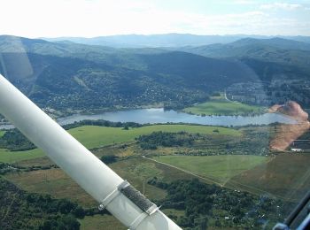
![Trail On foot District of Zvolen - Náučný chodník údolím rieky Slatina - Photo](https://media.geolcdn.com/t/350/260/96e27fa6-24e9-4519-88db-c0f3e6845cad.jpeg&format=jpg&maxdim=2)
![On foot On foot](https://static1.geolcdn.com/sitytour/trail-icons/100.png)
Km
On foot
![](/images/other/stat-length.png)
![](https://static1.geolcdn.com/siteimages/upload/files/1508320355ic_sort_den_pos_24dp.png)
![](https://static1.geolcdn.com/siteimages/upload/files/1508320355ic_sort_den_neg_24dp.png)
![](https://static1.geolcdn.com/siteimages/upload/files/16400158638029165_repeat_loop_refresh_sync_direction_icon.png)
• Symbol: education
![Trail On foot District of Zvolen - Náučný chodník mestom Sliač - Photo](https://media.geolcdn.com/t/350/260/7d538a3c-b83c-4d6b-b5c9-4cf214a7b1f9.jpeg&format=jpg&maxdim=2)
![On foot On foot](https://static1.geolcdn.com/sitytour/trail-icons/100.png)
Km
On foot
![](/images/other/stat-length.png)
![](https://static1.geolcdn.com/siteimages/upload/files/1508320355ic_sort_den_pos_24dp.png)
![](https://static1.geolcdn.com/siteimages/upload/files/1508320355ic_sort_den_neg_24dp.png)
![](https://static1.geolcdn.com/siteimages/upload/files/16400158638029165_repeat_loop_refresh_sync_direction_icon.png)
• Symbol: education
![Trail On foot District of Zvolen - Kováčova, kúpele - Sielnica - Photo](https://media.geolcdn.com/t/350/260/93d22ac5-4abc-4dea-ae38-cbd15530a7e8.jpeg&format=jpg&maxdim=2)
![On foot On foot](https://static1.geolcdn.com/sitytour/trail-icons/100.png)
Km
On foot
![](/images/other/stat-length.png)
![](https://static1.geolcdn.com/siteimages/upload/files/1508320355ic_sort_den_pos_24dp.png)
![](https://static1.geolcdn.com/siteimages/upload/files/1508320355ic_sort_den_neg_24dp.png)
![](https://static1.geolcdn.com/siteimages/upload/files/16400158638029165_repeat_loop_refresh_sync_direction_icon.png)
• Trail created by KST. Symbol: local
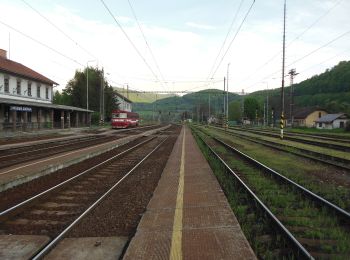
![Trail On foot District of Zvolen - Náučný chodník Boky - Photo](https://media.geolcdn.com/t/350/260/8d2d9ecc-787b-4137-9ac3-767cee577aef.jpeg&format=jpg&maxdim=2)
![On foot On foot](https://static1.geolcdn.com/sitytour/trail-icons/100.png)
Km
On foot
![](/images/other/stat-length.png)
![](https://static1.geolcdn.com/siteimages/upload/files/1508320355ic_sort_den_pos_24dp.png)
![](https://static1.geolcdn.com/siteimages/upload/files/1508320355ic_sort_den_neg_24dp.png)
![](https://static1.geolcdn.com/siteimages/upload/files/16400158638029165_repeat_loop_refresh_sync_direction_icon.png)
• Trail created by Štátna ochrana prírody Slovenskej Republiky. Symbol: education
4 trails displayed on 4
FREE GPS app for hiking