
Region of Prešov, Slovakia: Best trails, routes and walks
Region of Prešov: Discover the best trails: 46 hiking trails and 1 bike and mountain-bike routes. All these trails, routes and outdoor activities are available in our SityTrail applications for smartphones and tablets.
The best trails (47)
Km
On foot


• Trail created by Záhrada pohybu. symbol for all 4 routes is actually green backslash but routes have separate colors...
Km
On foot


• Trail created by Záhrada pohybu. symbol for all 4 routes is actually green backslash but routes have separate colors...
Km
On foot


• Trail created by Záhrada pohybu. symbol for all 4 routes is actually green backslash but routes have separate colors...
Km
On foot


• Trail created by Záhrada pohybu. symbol for all 4 routes is actually green backslash but routes have separate colors...
Km
On foot


• Trail created by Lesy mesta Spišská Belá, s.r.o.. Website: https://spisskabela.sk/navstevnik/vylety-do-okolia/nauc...
Km
On foot


• Trail created by Klub vojenskej histórie Beskydy a obec Hostovice. Symbol: education
Km
On foot


• Trail created by KST. Symbol: education
Km
On foot


• Symbol: education

Km
On foot


• Symbol: education
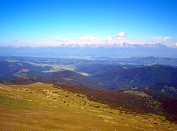
Km
On foot


• Trail created by OZVA. Symbol: education

Km
On foot


• Symbol: education

Km
On foot


• Trail created by Združenie rozvoja cestovného ruchu Čierna hora. Symbol: local
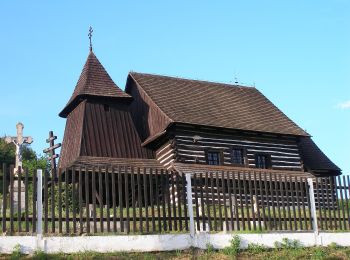
Km
On foot


• Trail created by Združenie rozvoja cestovného ruchu Čierna hora. Symbol: local
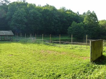
Km
On foot


• Trail created by Združenie rozvoja cestovného ruchu Čierna hora. Symbol: local
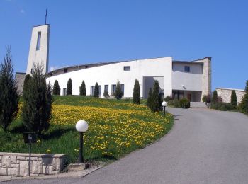
Km
On foot


• Trail created by Združenie rozvoja cestovného ruchu Čierna hora. Symbol: major
Km
On foot


• Trail created by Združenie rozvoja cestovného ruchu Čierna hora. Symbol: major
Km
On foot


• Trail created by Združenie rozvoja cestovného ruchu Čierna hora. Symbol: local
Km
On foot


• Trail created by Združenie rozvoja cestovného ruchu Čierna hora. Symbol: local
Km
On foot


• Symbol: education
Km
On foot


• Trail created by KST.
20 trails displayed on 47
FREE GPS app for hiking


 SityTrail


