


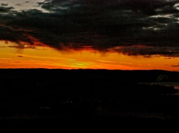
8.7 km | 10.9 km-effort
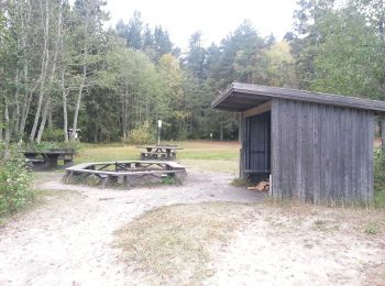
Härnösands domkyrkodistrikt: Discover the best trails: 4 hiking trails. All these trails, routes and outdoor activities are available in our SityTrail applications for smartphones and tablets.
On foot


• Trail created by Härnösands Kommun.
On foot
• Symbol: White signs with black arrow and humans with backpacks
On foot
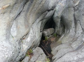
• Trail created by Härnösands OK. Symbol: Red dots, signs "Härnö Trail" and red plastic bands
On foot
• Trail created by Härnösands OK. Symbol: Red dots, signs "Härnö Trail" and red plastic bands
4 trails displayed on 4
FREE GPS app for hiking
 SityTrail
IGN / Geographical institutes
SityTrail World
The world is yours!