Alentejo Region, Portugal: Best trails, routes and walks

2 comments

Alentejo Region: Discover the best trails: 70 hiking trails and 5 bike and mountain-bike routes. All these trails, routes and outdoor activities are available in our SityTrail applications for smartphones and tablets.


The best trails (76)
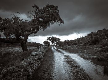
Trail On foot Santa Maria de Marvão - Percurso Pedestre dos Galegos - Photo
On foot 11.612
Km
GUIDE+

On foot

Easy
Santa Maria de Marvão, Alentejo Region, Portalegre, Portugal
11.6 km | 15 km-effort
3h 24min
254 m
256 m
Yes
SityTrail - itinéraires balisés pédestres

• Trail created by Parque Natural da Serra de S. Mamede.
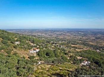
Trail On foot São Salvador da Aramenha - Percurso Pedestre de Marvão - Photo
On foot 4.767
Km
GUIDE+

On foot

Easy
São Salvador da Aramenha, Alentejo Region, Portalegre, Portugal
4.8 km | 8.4 km-effort
1h 54min
286 m
240 m
No
SityTrail - itinéraires balisés pédestres

• Trail created by Parque Natural da Serra de São Mamede.
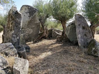
Trail On foot Monsaraz - Rota dos Menires - Photo
On foot 5.349
Km
GUIDE+

On foot

Easy
Monsaraz, Alentejo Region, Évora, Portugal
5.3 km | 6 km-effort
1h 22min
45 m
66 m
No
SityTrail - itinéraires balisés pédestres

• Trail created by Município de Évora. Symbol: Yellow over Red
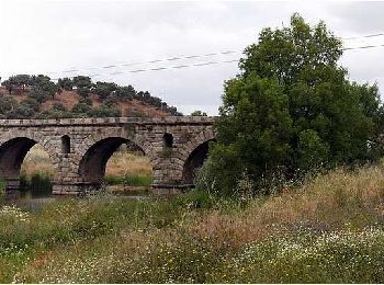
Trail On foot Seda - Olhar Sobre a Ribeira de Seda - Photo
On foot 10.595
Km
GUIDE+

On foot

Easy
Seda, Alentejo Region, Portalegre, Portugal
10.6 km | 12.1 km-effort
2h 45min
114 m
121 m
No
SityTrail - itinéraires balisés pédestres

• Trail created by Município de Alter do Chão. Symbol: Yellow over Red Website: http://inmotion.cimaa.pt/pt/percurso...
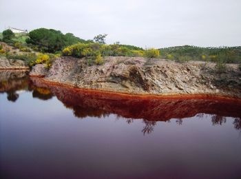
Trail On foot Azinheira dos Barros - Lousal Geomegalítico - Photo
On foot 13.729
Km
GUIDE+

On foot

Easy
Azinheira dos Barros, Alentejo Region, Setúbal, Portugal
13.7 km | 16.1 km-effort
3h 39min
174 m
183 m
No
SityTrail - itinéraires balisés pédestres

• Trail created by Centro de Ciência Viva do Lousal;Município de Grândola. Symbol: unmarked
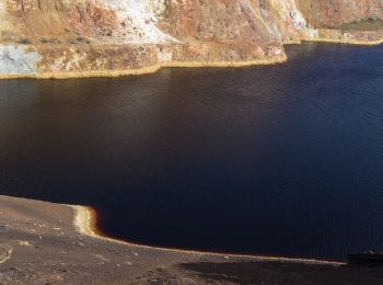
Trail On foot Santana de Cambas - Rota do Minério - Photo
On foot 16.812
Km
GUIDE+

On foot

Medium
Santana de Cambas, Alentejo Region, Beja, Portugal
16.8 km | 20 km-effort
4h 37min
292 m
180 m
No
SityTrail - itinéraires balisés pédestres

• Trail created by ICNF. Symbol: Yellow over Red

Trail On foot Cabeção - Percurso do Gameiro - Photo
On foot 4.059
Km
GUIDE+

On foot

Easy
Cabeção, Alentejo Region, Évora, Portugal
4.1 km | 5 km-effort
1h 7min
71 m
64 m
No
SityTrail - itinéraires balisés pédestres

• Trail created by Município de Mora. Symbol: Yellow over Red
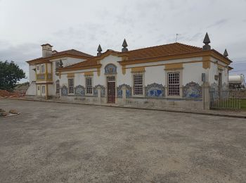
Trail Walking Porto Covo - PORTUGAL 2024 Porto Covo. Santiago de Cacém  - Photo
Walking 30.414
Km

Walking

Medium
Porto Covo, Alentejo Region, Setúbal, Portugal
30 km | 35 km-effort
7h 8min
391 m
218 m
No
jeff2

Trail Walking Longueira/Almograve - PORTUGAL 2024 Almograve Port Covo - Photo
Walking 32.696
Km

Walking

Medium
Longueira/Almograve, Alentejo Region, Beja, Portugal
33 km | 37 km-effort
8h 43min
344 m
335 m
No
jeff2

Trail Walking  - PORTUGAL 2024 Zambujeira Almograve  - Photo
Walking 20.581
Km

Walking

Medium
, Alentejo Region, Beja, Portugal
21 km | 25 km-effort
6h 9min
302 m
328 m
No
jeff2

Trail On foot Alvito - Trilho dos Moinhos do Alvito - Photo
On foot 14.983
Km
GUIDE+

On foot

Easy
Alvito, Alentejo Region, Beja, Portugal
15 km | 18.6 km-effort
4h 13min
271 m
273 m
Yes
SityTrail - itinéraires balisés pédestres

Trail On foot Cabeço de Vide - PR4 FTR - Rota Sulfúrea - Photo
On foot 5.904
Km
GUIDE+

On foot

Easy
Cabeço de Vide, Alentejo Region, Portalegre, Portugal
5.9 km | 7 km-effort
1h 35min
74 m
100 m
No
SityTrail - itinéraires balisés pédestres

Trail On foot  - Da planície à Ribeira de Terges - Photo
On foot 11.83
Km
GUIDE+

On foot

Easy
, Alentejo Region, Beja, Portugal
11.8 km | 13.4 km-effort
3h 2min
118 m
112 m
No
SityTrail - itinéraires balisés pédestres

• Trail created by Câmara Municipal de Beja.
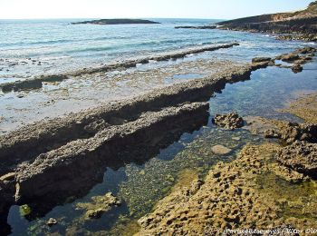
Trail On foot Longueira/Almograve - The Dunes of Almograve - Photo
On foot 8.138
Km
GUIDE+

On foot

Easy
Longueira/Almograve, Alentejo Region, Beja, Portugal
8.1 km | 9.4 km-effort
2h 8min
97 m
98 m
Yes
SityTrail - itinéraires balisés pédestres

Trail On foot Mértola - As Margens do Guadiana - Photo
On foot 4.977
Km
GUIDE+

On foot

Easy
Mértola, Alentejo Region, Beja, Portugal
5 km | 6.2 km-effort
1h 24min
110 m
33 m
No
SityTrail - itinéraires balisés pédestres

• Deixando para trás a povoação de Corte Gafo de Baixo, o percurso segue por uma paisagem de montado de azinho que dá l...
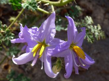
Trail On foot Mértola - Guadiana, o grande rio do Sul - Photo
On foot 5.225
Km
GUIDE+

On foot

Easy
Mértola, Alentejo Region, Beja, Portugal
5.2 km | 6.2 km-effort
1h 24min
56 m
122 m
No
SityTrail - itinéraires balisés pédestres

• Trail created by Parque Natural do Vale do Guadiana.

Trail On foot  - Percurso Pedestre das Carreiras - Photo
On foot 8.838
Km
GUIDE+

On foot

Easy
, Alentejo Region, Portalegre, Portugal
8.8 km | 12 km-effort
2h 43min
237 m
239 m
Yes
SityTrail - itinéraires balisés pédestres

• Trail created by Parque Natural da Serra de S. Mamede.

Trail On foot  - Pelos Montes do Cantinho da Ribeira - Photo
On foot 8.533
Km
GUIDE+

On foot

Easy
, Alentejo Region, Beja, Portugal
8.5 km | 10.2 km-effort
2h 18min
123 m
123 m
Yes
SityTrail - itinéraires balisés pédestres

• Trail created by Câmara Municipal de Beja.

Trail On foot  - Rota do Pão - Photo
On foot 12.398
Km
GUIDE+

On foot

Easy
, Alentejo Region, Beja, Portugal
12.4 km | 14.6 km-effort
3h 19min
164 m
183 m
No
SityTrail - itinéraires balisés pédestres

• Trail created by Câmara Municipal de Beja.

Trail On foot Seda - Olhar Sobre a Ribeira de Seda - Variante - Photo
On foot 4.739
Km
GUIDE+

On foot

Easy
Seda, Alentejo Region, Portalegre, Portugal
4.7 km | 5.5 km-effort
1h 14min
42 m
94 m
No
SityTrail - itinéraires balisés pédestres

• Trail created by Município de Alter do Chão. Symbol: Yellow over Red Website: http://inmotion.cimaa.pt/pt/percurso...

20 trails displayed on 76

FREE GPS app for hiking

Logo SityTrail SityTrail

IGN / Geographical institutes

Download SityTrail from the App Store Download SityTrail from Google Play

Logo SityTrail SityTrail World

The world is yours!

Download SityTrail from the App Store Download SityTrail from Google Play Download SityTrail on Huawei AppGallery

Activities

Nearby regions

Close
My subscriptions