Lublin Voivodeship, Poland: Best trails, routes and walks

Lublin Voivodeship: Discover the best trails: 25 hiking trails. All these trails, routes and outdoor activities are available in our SityTrail applications for smartphones and tablets.


The best trails (25)
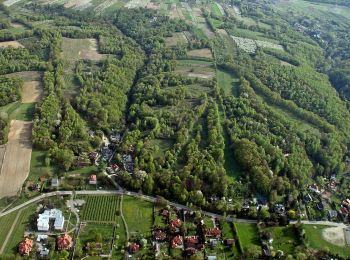
Trail On foot Kazimierz Dolny - Szlak zielony - Photo
On foot 10.3
Km
GUIDE+

On foot

Easy
Kazimierz Dolny, Lublin Voivodeship, Puławy County, Poland
10.3 km | 12.6 km-effort
2h 51min
192 m
112 m
No
SityTrail - itinéraires balisés pédestres

• Symbol: Green corner

Trail On foot  - PL-LU-5506-z - Photo
On foot 38.899
Km
GUIDE+

On foot

Very difficult
, Lublin Voivodeship, Biała Podlaska County, Poland
39 km | 42 km-effort
9h 32min
229 m
231 m
Yes
SityTrail - itinéraires balisés pédestres

• Trail created by PTTK. Symbol: green bar on white ground
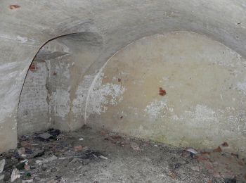
Trail On foot Orłów Murowany-Kolonia - Piesza ścieżka przyrodniczo-historyczna
On foot 12.52
Km
GUIDE+

On foot

Easy
Orłów Murowany-Kolonia, Lublin Voivodeship, Krasnystaw County, Poland
12.5 km | 14.9 km-effort
3h 23min
178 m
178 m
Yes
SityTrail - itinéraires balisés pédestres

• Trail created by Zespół Lubelskich Parków Krajobrazowych.
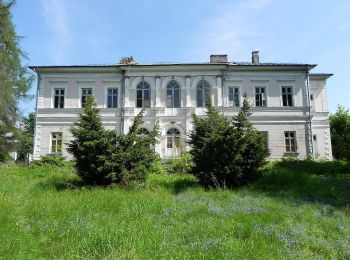
Trail On foot Orłów Murowany-Kolonia - Piesza ścieżka przyrodniczo-historyczna
On foot 8.067
Km
GUIDE+

On foot

Easy
Orłów Murowany-Kolonia, Lublin Voivodeship, Krasnystaw County, Poland
8.1 km | 9.7 km-effort
2h 12min
124 m
123 m
Yes
SityTrail - itinéraires balisés pédestres

• Trail created by Zespół Lubelskich Parków Krajobrazowych.
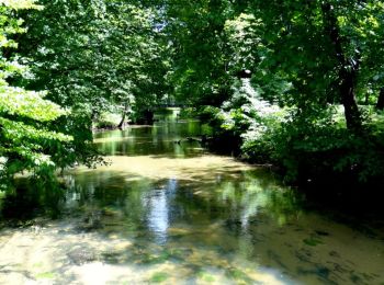
Trail On foot Zwierzyniec - Ścieżka Niebieska - Photo
On foot 9.594
Km
GUIDE+

On foot

Easy
Zwierzyniec, Lublin Voivodeship, Zamość County, Poland
9.6 km | 11.9 km-effort
2h 42min
175 m
177 m
No
SityTrail - itinéraires balisés pédestres

• Trail created by Gmina Zwierzyniec. Symbol: znaki niebieskie
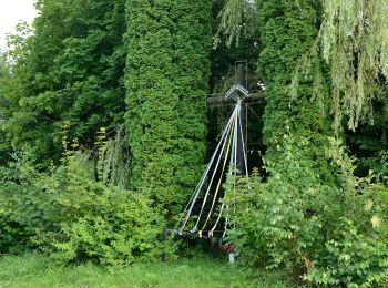
Trail On foot Skierbieszów - Ścieżka edukacyjno-spacerowa Skierbieszów-Dulnik-Zawoda-Broczówka - Photo
On foot 8.673
Km
GUIDE+

On foot

Easy
Skierbieszów, Lublin Voivodeship, Zamość County, Poland
8.7 km | 9.7 km-effort
2h 12min
77 m
77 m
Yes
SityTrail - itinéraires balisés pédestres

• Trail created by Zespół Lubelskich Parków Krajobrazowych.
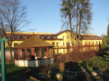
Trail On foot Sławęcin - Śladami Księdza Stefana Wyszyńskiego - Photo
On foot 28.948
Km
GUIDE+

On foot

Difficult
Sławęcin, Lublin Voivodeship, Zamość County, Poland
29 km | 35 km-effort
7h 56min
460 m
425 m
No
SityTrail - itinéraires balisés pédestres

• Trail created by Gmina Skierbieszów. Symbol: black bar on white ground

Trail On foot  - Szlak im. gen. Kleeberga - Photo
On foot 21.756
Km
GUIDE+

On foot

Medium
, Lublin Voivodeship, Radzyń Podlaski County, Poland
22 km | 24 km-effort
5h 22min
141 m
145 m
No
SityTrail - itinéraires balisés pédestres

• Szlak składa się z trzech odcinków: zielony Dęblin-Kock, czerwony Kock-Radzyń i żółty Radzyń-Czemierniki. Odcinek cze...

Trail On foot Kazimierz Dolny - PL-lokalny szlak spacerowy - Photo
On foot 5.03
Km
GUIDE+

On foot

Easy
Kazimierz Dolny, Lublin Voivodeship, Puławy County, Poland
5 km | 6.7 km-effort
1h 31min
125 m
127 m
Yes
SityTrail - itinéraires balisés pédestres

• lokalny szlak spacerowy

Trail On foot Józefów - Szlak geoturystyczny Roztocza Środkowego - Photo
On foot 76.389
Km
GUIDE+

On foot

Very difficult
Józefów, Lublin Voivodeship, Biłgoraj County, Poland
76 km | 87 km-effort
19h 47min
800 m
800 m
Yes
SityTrail - itinéraires balisés pédestres

Trail On foot Oblasy - Zwoleń czerwony pieszy - Photo
On foot 6.864
Km
GUIDE+

On foot

Easy
Oblasy, Lublin Voivodeship, Puławy County, Poland
6.9 km | 8.1 km-effort
1h 50min
91 m
88 m
Yes
SityTrail - itinéraires balisés pédestres

Trail On foot Oblasy - Zielony zwoleń - Photo
On foot 15.495
Km
GUIDE+

On foot

Easy
Oblasy, Lublin Voivodeship, Puławy County, Poland
15.5 km | 17.3 km-effort
3h 55min
133 m
139 m
No
SityTrail - itinéraires balisés pédestres

Trail On foot Obrocz - Obrockie Pola - Photo
On foot 8.36
Km
GUIDE+

On foot

Easy
Obrocz, Lublin Voivodeship, Zamość County, Poland
8.4 km | 10.2 km-effort
2h 18min
138 m
136 m
Yes
SityTrail - itinéraires balisés pédestres

Trail On foot Hutki - Ścieżka spacerowa Krasnobród Podklasztor - Rezerwat św. Roch - Krasnobród - Majdan Wielki - Photo
On foot 7.654
Km
GUIDE+

On foot

Easy
Hutki, Lublin Voivodeship, Zamość County, Poland
7.7 km | 9.1 km-effort
2h 4min
97 m
149 m
No
SityTrail - itinéraires balisés pédestres

Trail On foot Majdan Sitaniecki - Bieg na Orientację - S - trasa krótka - Photo
On foot 5.261
Km
GUIDE+

On foot

Easy
Majdan Sitaniecki, Lublin Voivodeship, Zamość County, Poland
5.3 km | 6.5 km-effort
1h 28min
88 m
113 m
No
SityTrail - itinéraires balisés pédestres

• Trail created by Nadleśnictwo Krasnystaw.

Trail On foot Majdan Sitaniecki - Bieg na Orientację - S - trasa średnia - Photo
On foot 9.086
Km
GUIDE+

On foot

Easy
Majdan Sitaniecki, Lublin Voivodeship, Zamość County, Poland
9.1 km | 11.5 km-effort
2h 36min
172 m
194 m
No
SityTrail - itinéraires balisés pédestres

• Trail created by Nadleśnictwo Krasnystaw.

Trail On foot Majdan Sitaniecki - Bieg na Orientację - S - trasa długa - Photo
On foot 13.738
Km
GUIDE+

On foot

Easy
Majdan Sitaniecki, Lublin Voivodeship, Zamość County, Poland
13.7 km | 17.9 km-effort
4h 4min
309 m
334 m
No
SityTrail - itinéraires balisés pédestres

• Trail created by Nadleśnictwo Krasnystaw.

Trail On foot Majdan Sitaniecki - Bieg na Orientację - N - trasa krótka - Photo
On foot 6.438
Km
GUIDE+

On foot

Easy
Majdan Sitaniecki, Lublin Voivodeship, Zamość County, Poland
6.4 km | 8.3 km-effort
1h 53min
138 m
145 m
Yes
SityTrail - itinéraires balisés pédestres

• Trail created by Nadleśnictwo Krasnystaw.

Trail On foot Majdan Sitaniecki - Bieg na Orientację - N - trasa średnia - Photo
On foot 9.5
Km
GUIDE+

On foot

Easy
Majdan Sitaniecki, Lublin Voivodeship, Zamość County, Poland
9.5 km | 12.2 km-effort
2h 46min
204 m
196 m
Yes
SityTrail - itinéraires balisés pédestres

• Trail created by Nadleśnictwo Krasnystaw.

Trail On foot Majdan Sitaniecki - Bieg na Orientację - N - trasa długa - Photo
On foot 14.772
Km
GUIDE+

On foot

Easy
Majdan Sitaniecki, Lublin Voivodeship, Zamość County, Poland
14.8 km | 19.1 km-effort
4h 20min
323 m
330 m
Yes
SityTrail - itinéraires balisés pédestres

• Trail created by Nadleśnictwo Krasnystaw.

20 trails displayed on 25

FREE GPS app for hiking

Logo SityTrail SityTrail

IGN / Geographical institutes

Download SityTrail from the App Store Download SityTrail from Google Play

Logo SityTrail SityTrail World

The world is yours!

Download SityTrail from the App Store Download SityTrail from Google Play Download SityTrail on Huawei AppGallery

Activities

Nearby regions

Close
My subscriptions