![](/images/other/stat-length.png)
- Trails
- Outdoor
- Poland
- Podlaskie Voivodeship
- Mońki County
Mońki County, Podlaskie Voivodeship: Best trails, routes and walks
Mońki County: Discover the best trails: 4 hiking trails. All these trails, routes and outdoor activities are available in our SityTrail applications for smartphones and tablets.
The best trails (4)
![Trail On foot Gugny - Gugny-Barwik - Photo](https://media.geolcdn.com/t/350/260/ffa433ec-349e-46b6-a191-f5e548436ef3.jpeg&format=jpg&maxdim=2)
![On foot On foot](https://static1.geolcdn.com/sitytour/trail-icons/100.png)
Km
On foot
![](/images/other/stat-length.png)
![](https://static1.geolcdn.com/siteimages/upload/files/1508320355ic_sort_den_pos_24dp.png)
![](https://static1.geolcdn.com/siteimages/upload/files/1508320355ic_sort_den_neg_24dp.png)
![](https://static1.geolcdn.com/siteimages/upload/files/16400158638029165_repeat_loop_refresh_sync_direction_icon.png)
• 164_PL-2549-c czerwony Z zasobów Biebrzańskiego Parku Narodowego. ZAKAZ KOPIOWANIA Użycie tylko w ramach gotowej mapy.
![Trail On foot Dolistowo Stare - Morgowniki - Dolistowo - Lipsk - Photo](https://media.geolcdn.com/t/350/260/e871e77c-e645-4669-82dc-b28931aed229.jpeg&format=jpg&maxdim=2)
![On foot On foot](https://static1.geolcdn.com/sitytour/trail-icons/100.png)
Km
On foot
![](/images/other/stat-length.png)
![](https://static1.geolcdn.com/siteimages/upload/files/1508320355ic_sort_den_pos_24dp.png)
![](https://static1.geolcdn.com/siteimages/upload/files/1508320355ic_sort_den_neg_24dp.png)
![](https://static1.geolcdn.com/siteimages/upload/files/16400158638029165_repeat_loop_refresh_sync_direction_icon.png)
• Symbol: znaki niebieskie
![Trail On foot Gugny - Szlak Trzcianne-Trzcianne - Photo](https://media.geolcdn.com/t/350/260/9edc1856-b5e0-4295-ba50-227c1d1f31a5.jpeg&format=jpg&maxdim=2)
![On foot On foot](https://static1.geolcdn.com/sitytour/trail-icons/100.png)
Km
On foot
![](/images/other/stat-length.png)
![](https://static1.geolcdn.com/siteimages/upload/files/1508320355ic_sort_den_pos_24dp.png)
![](https://static1.geolcdn.com/siteimages/upload/files/1508320355ic_sort_den_neg_24dp.png)
![](https://static1.geolcdn.com/siteimages/upload/files/16400158638029165_repeat_loop_refresh_sync_direction_icon.png)
![Trail On foot Downary - Wokół fortu IV - Photo](https://media.geolcdn.com/t/350/260/ext.jpg?maxdim=2&url=https%3A%2F%2Fstatic1.geolcdn.com%2Fsiteimages%2Fupload%2Ffiles%2F1545311037marcheuse_200dpi.jpg)
![On foot On foot](https://static1.geolcdn.com/sitytour/trail-icons/100.png)
Km
On foot
![](/images/other/stat-length.png)
![](https://static1.geolcdn.com/siteimages/upload/files/1508320355ic_sort_den_pos_24dp.png)
![](https://static1.geolcdn.com/siteimages/upload/files/1508320355ic_sort_den_neg_24dp.png)
![](https://static1.geolcdn.com/siteimages/upload/files/16400158638029165_repeat_loop_refresh_sync_direction_icon.png)
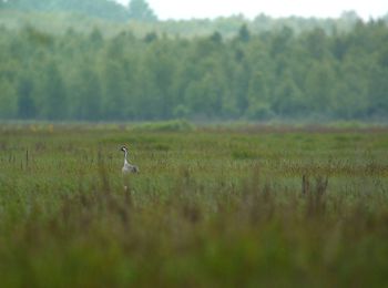
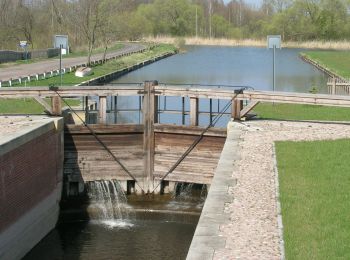
• Trail created by Biebrzański Park Narodowy.
4 trails displayed on 4
FREE GPS app for hiking