Lesko County, Subcarpathian Voivodeship: Best trails, routes and walks

Lesko County: Discover the best trails: 12 hiking trails. All these trails, routes and outdoor activities are available in our SityTrail applications for smartphones and tablets.
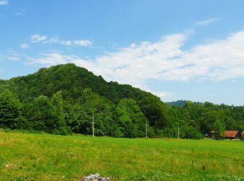
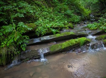

The best trails (12)

Trail On foot Baligród - Ścieżka przyrodnicza na Chryszczatą - Photo
On foot 6.468
Km
PRO

On foot

Easy
Baligród, Subcarpathian Voivodeship, Lesko County, Poland
6.5 km | 11.6 km-effort
2h 38min
506 m
21 m
No
SityTrail - itinéraires balisés pédestres

• Trail created by Nadleśnictwo Baligród. Website: http://www.czaswlas.pl/obiekty/?p=4&id_obiekt=8166
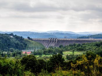
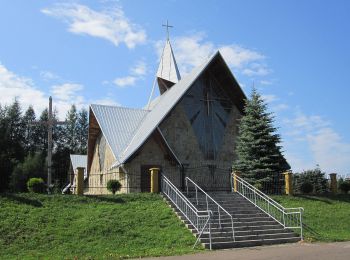
Trail On foot Huczwice - Ścieżka przyrodnicza na Przełęcz Żebrak - Photo
On foot 6.001
Km
PRO

On foot

Easy
Huczwice, Subcarpathian Voivodeship, Lesko County, Poland
6 km | 9.1 km-effort
2h 4min
310 m
5 m
No
SityTrail - itinéraires balisés pédestres

• Trail created by Nadleśnictwo Baligród. Website: http://www.czaswlas.pl/obiekty/?p=4&id_obiekt=8168
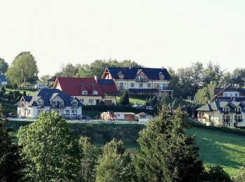
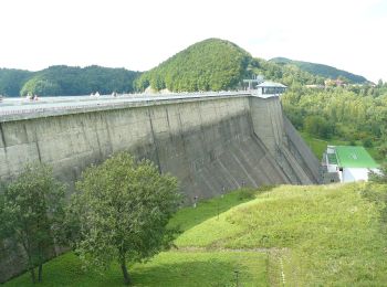
Trail On foot Bukowiec - Ścieżka przyrodnicza na Korbanię - Photo
On foot 10.296
Km
PRO

On foot

Easy
Bukowiec, Subcarpathian Voivodeship, Lesko County, Poland
10.3 km | 16.1 km-effort
3h 39min
435 m
436 m
Yes
SityTrail - itinéraires balisés pédestres

• Trail created by Gmina Solina.
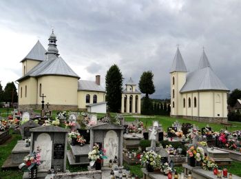
Trail On foot Terka - Ścieżka Terka-Studenne (mała pętla) - Photo
On foot 4.458
Km
PRO

On foot

Easy
Terka, Subcarpathian Voivodeship, Lesko County, Poland
4.5 km | 6.9 km-effort
1h 33min
180 m
182 m
Yes
SityTrail - itinéraires balisés pédestres

Trail On foot Terka - Ścieżka Terka-Studenne (duża pętla) - Photo
On foot 10.782
Km
PRO

On foot

Easy
Terka, Subcarpathian Voivodeship, Lesko County, Poland
10.8 km | 15.6 km-effort
3h 32min
360 m
358 m
Yes
SityTrail - itinéraires balisés pédestres

Trail On foot Solina - Wokół Jeziora Myczkowskiego
On foot 15.167
Km
PRO

On foot

Medium
Solina, Subcarpathian Voivodeship, Lesko County, Poland
15.2 km | 21 km-effort
4h 49min
457 m
457 m
Yes
SityTrail - itinéraires balisés pédestres

Trail On foot Polańczyk - Perła polańczyka - Photo
On foot 3.659
Km
PRO

On foot

Easy
Polańczyk, Subcarpathian Voivodeship, Lesko County, Poland
3.7 km | 5.4 km-effort
1h 13min
131 m
133 m
Yes
SityTrail - itinéraires balisés pédestres

Trail On foot Polańczyk - Zielone wzgórza nad Soliną - Photo
On foot 14.159
Km
PRO

On foot

Easy
Polańczyk, Subcarpathian Voivodeship, Lesko County, Poland
14.2 km | 18.4 km-effort
4h 10min
316 m
314 m
Yes
SityTrail - itinéraires balisés pédestres

Trail On foot Rajskie - Ścieżka Rajskie - Trywolne - Krywe - Photo
On foot 6.632
Km
PRO

On foot

Easy
Rajskie, Subcarpathian Voivodeship, Lesko County, Poland
6.6 km | 8.4 km-effort
1h 54min
141 m
99 m
No
SityTrail - itinéraires balisés pédestres

Trail On foot Łopienka - Ścieżka I Parking Polanki - Bukowiec - Photo
On foot 9.797
Km
PRO

On foot

Easy
Łopienka, Subcarpathian Voivodeship, Lesko County, Poland
9.8 km | 15.9 km-effort
3h 36min
454 m
466 m
No
SityTrail - itinéraires balisés pédestres

Trail On foot Solina - Solina - Jawor - Photo
On foot 3.398
Km
PRO

On foot

Easy
Solina, Subcarpathian Voivodeship, Lesko County, Poland
3.4 km | 6.7 km-effort
1h 31min
314 m
44 m
No
SityTrail - itinéraires balisés pédestres

Trail On foot Rabe - Ścieżka przyrodnicza nad Jeziorko Bobrowe - Photo
On foot 3.735
Km
PRO

On foot

Easy
Rabe, Subcarpathian Voivodeship, Lesko County, Poland
3.7 km | 4.5 km-effort
1h 1min
4 m
227 m
No
SityTrail - itinéraires balisés pédestres

• Trail created by Nadleśnictwo Baligród. Website: http://www.czaswlas.pl/obiekty/?p=4&id_obiekt=8167

12 trails displayed on 12

FREE GPS app for hiking

Logo SityTrail SityTrail

IGN / Geographical institutes

Download SityTrail from the App Store Download SityTrail from Google Play

Logo SityTrail SityTrail World

The world is yours!

Download SityTrail from the App Store Download SityTrail from Google Play Download SityTrail on Huawei AppGallery

Activities

Nearby regions

Close
My subscriptions