Lesser Poland Voivodeship, Poland: Best trails, routes and walks

2 comments

Lesser Poland Voivodeship: Discover the best trails: 86 hiking trails and 1 bike and mountain-bike routes. All these trails, routes and outdoor activities are available in our SityTrail applications for smartphones and tablets.


The best trails (101)

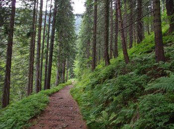
Trail Walking Głogoczów - Las Bronaczowa - Photo
Walking 5.544
Km

Walking

Easy
(1)
Głogoczów, Lesser Poland Voivodeship, Myślenice County, Poland
5.5 km | 7.2 km-effort
1h 22min
128 m
125 m
Yes
grappa

Trail On foot Tuchów - Szlak spacerowy wokół Tuchowa - Photo
On foot 20.202
Km
GUIDE+

On foot

Medium
Tuchów, Lesser Poland Voivodeship, Tarnów County, Poland
20 km | 28 km-effort
6h 21min
579 m
588 m
No
SityTrail - itinéraires balisés pédestres

• Trail created by PTTK.

Trail On foot Chrzanów - Ścieżka przyrodniczo dydaktyczna
On foot 5.278
Km
GUIDE+

On foot

Easy
Chrzanów, Lesser Poland Voivodeship, Chrzanów County, Poland
5.3 km | 6.9 km-effort
1h 34min
151 m
47 m
No
SityTrail - itinéraires balisés pédestres

• Website: http://old.chrzanow.pl/files/chechlo1_.pdf
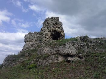
Trail On foot Chrzanów - Zielone perły Trzebini - Photo
On foot 4.679
Km
GUIDE+

On foot

Easy
Chrzanów, Lesser Poland Voivodeship, Chrzanów County, Poland
4.7 km | 5.7 km-effort
1h 17min
91 m
27 m
No
SityTrail - itinéraires balisés pédestres

• Trail created by UM Trzebinia.

Trail On foot Unknown - PL-w trakcie znakowania w terenie - Photo
On foot 3.898
Km
GUIDE+

On foot

Easy
Unknown, Lesser Poland Voivodeship, Krakow, Poland
3.9 km | 4.4 km-effort
59min
30 m
53 m
No
SityTrail - itinéraires balisés pédestres

• w trakcie znakowania w terenie

Trail On foot Zawoja - Ścieżka edukacyjna -
On foot 7.726
Km
GUIDE+

On foot

Easy
Zawoja, Lesser Poland Voivodeship, Sucha County, Poland
7.7 km | 12.8 km-effort
2h 55min
384 m
385 m
Yes
SityTrail - itinéraires balisés pédestres

• Trail created by BgPN.

Trail On foot Tylicz - Śladami Konfederatów Barskich - Photo
On foot 9.073
Km
GUIDE+

On foot

Easy
Tylicz, Lesser Poland Voivodeship, Nowy Sącz County, Poland
9.1 km | 12.2 km-effort
2h 46min
258 m
163 m
No
SityTrail - itinéraires balisés pédestres

• Symbol: niebieski ryngraf

Trail On foot  - Szlak Diablej Góry - Photo
On foot 6.353
Km
GUIDE+

On foot

Easy
, Lesser Poland Voivodeship, Olkusz County, Poland
6.4 km | 7.5 km-effort
1h 41min
82 m
84 m
Yes
SityTrail - itinéraires balisés pédestres

• Symbol: local

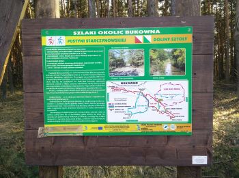
Trail On foot  - Szlak Doliny Sztoły - Photo
On foot 7.119
Km
GUIDE+

On foot

Easy
, Lesser Poland Voivodeship, Olkusz County, Poland
7.1 km | 8.3 km-effort
1h 53min
91 m
84 m
Yes
SityTrail - itinéraires balisés pédestres

• Symbol: local

Trail On foot Roztoka Ryterska - Rytro — Polana Paszkowa - Photo
On foot 4.756
Km
GUIDE+

On foot

Easy
Roztoka Ryterska, Lesser Poland Voivodeship, Nowy Sącz County, Poland
4.8 km | 6.3 km-effort
1h 25min
24 m
388 m
No
SityTrail - itinéraires balisés pédestres

• Symbol: żółty

Trail On foot Rzyki - Szlak Białych Serc - Photo
On foot 3.424
Km
GUIDE+

On foot

Easy
Rzyki, Lesser Poland Voivodeship, Wadowice County, Poland
3.4 km | 6.9 km-effort
1h 34min
346 m
4 m
No
SityTrail - itinéraires balisés pédestres

• Symbol: białe serce na czarnym polu
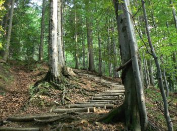
Trail On foot Poręba Wielka - Ścieżka edukacyjna „Dolina potoku Turbacz” - Photo
On foot 4.546
Km
GUIDE+

On foot

Easy
Poręba Wielka, Lesser Poland Voivodeship, Limanowa County, Poland
4.5 km | 7.6 km-effort
1h 44min
240 m
211 m
No
SityTrail - itinéraires balisés pédestres

• Website: http://www.gorczanskipark.pl/page,art,id,152,kategoria,Dolina_potoku_Turbacz.html
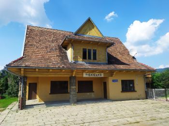
Trail On foot Tymbark - Ścieżka turystyczno-edukacyjna - Photo
On foot 4.934
Km
GUIDE+

On foot

Easy
Tymbark, Lesser Poland Voivodeship, Limanowa County, Poland
4.9 km | 6.6 km-effort
1h 29min
110 m
164 m
No
SityTrail - itinéraires balisés pédestres

• Trail created by Urząd Gminy w Tymbarku.
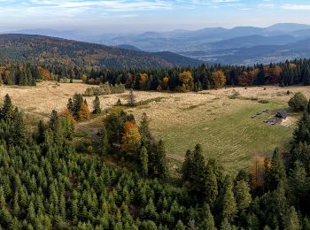
Trail On foot Podłopień - Zęzów - Łopień - Photo
On foot 9.834
Km
GUIDE+

On foot

Easy
Podłopień, Lesser Poland Voivodeship, Limanowa County, Poland
9.8 km | 17.3 km-effort
3h 55min
629 m
339 m
No
SityTrail - itinéraires balisés pédestres

• Trail created by PTTK Limanowa.

Trail On foot Roztoka Ryterska - Rytro Przeł. Żłobki - Photo
On foot 7.92
Km
GUIDE+

On foot

Easy
Roztoka Ryterska, Lesser Poland Voivodeship, Nowy Sącz County, Poland
7.9 km | 15.8 km-effort
3h 35min
758 m
85 m
No
SityTrail - itinéraires balisés pédestres

• Trail created by Gmina Rytro. Symbol: żółty
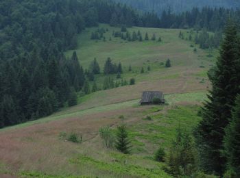
Trail On foot Lubomierz - Ścieżka edukacyjna „Dolina Gorcowego Potoku” - Photo
On foot 5.422
Km
GUIDE+

On foot

Easy
Lubomierz, Lesser Poland Voivodeship, Limanowa County, Poland
5.4 km | 9.5 km-effort
2h 9min
306 m
302 m
Yes
SityTrail - itinéraires balisés pédestres

• Website: http://www.gorczanskipark.pl/page,art,id,149,kategoria,Dolina_Gorcowego_Potoku.html
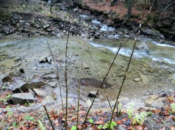
Trail On foot Zasadne - Ścieżka edukacyjna „Dolina Kamienicy” - Photo
On foot 3.993
Km
GUIDE+

On foot

Easy
Zasadne, Lesser Poland Voivodeship, Limanowa County, Poland
4 km | 6.1 km-effort
1h 23min
158 m
169 m
No
SityTrail - itinéraires balisés pédestres

• Website: http://www.gorczanskipark.pl/page,art,id,150,kategoria,Dolina_Kamienicy.html
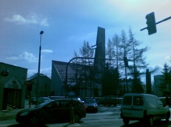
Trail On foot Unknown - District III Heritage Trail - Photo
On foot 5.284
Km
GUIDE+

On foot

Easy
Unknown, Lesser Poland Voivodeship, Krakow, Poland
5.3 km | 6.1 km-effort
1h 22min
53 m
80 m
No
SityTrail - itinéraires balisés pédestres

• Trail created by Rada Dzielnicy III Miasta Krakowa.

Trail On foot Szklary - Szlak Doliny Szklarki - Photo
On foot 5.764
Km
GUIDE+

On foot

Easy
Szklary, Lesser Poland Voivodeship, Kraków County, Poland
5.8 km | 8.8 km-effort
1h 59min
221 m
235 m
Yes
SityTrail - itinéraires balisés pédestres

• Symbol: czerwony

Trail On foot Klucze - Błędów - Ryczów - Photo
On foot 14.376
Km
GUIDE+

On foot

Easy
Klucze, Lesser Poland Voivodeship, Olkusz County, Poland
14.4 km | 17.1 km-effort
3h 53min
215 m
187 m
No
SityTrail - itinéraires balisés pédestres

• Symbol: yellow bar

20 trails displayed on 101

Close
My subscriptions