


10.6 km | 13.7 km-effort
Canton Redange: Discover the best trails: 58 hiking trails and 10 bike and mountain-bike routes. All these trails, routes and outdoor activities are available in our SityTrail applications for smartphones and tablets.
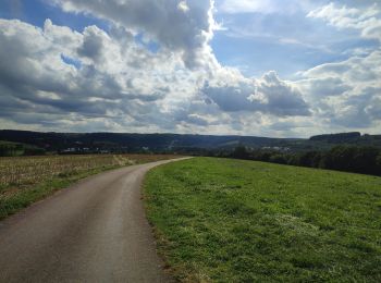
On foot


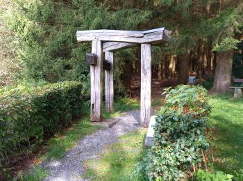
• Trail created by Syndicat d'Initiative Ell.
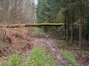
On foot
• Symbol: Pointeur bleu Website: http://www.pnva.be/decouvrir-le-territoire/les-promenades/
On foot
• Symbol: Blue triangle (indicating the direction: left or right) on white ground

Walking
Walking
On foot
On foot
On foot
On foot
On foot
On foot
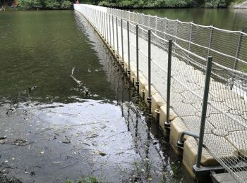
• Trail created by Pays d'Arlon.

Walking
Walking
Walking
Nordic walking
Walking
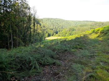
On foot
On foot
Walking
Walking
20 trails displayed on 70
FREE GPS app for hiking
 SityTrail
IGN / Geographical institutes
SityTrail World
The world is yours!