


11.5 km | 16.7 km-effort
Canton Wiltz: Discover the best trails: 136 hiking trails and 18 bike and mountain-bike routes. All these trails, routes and outdoor activities are available in our SityTrail applications for smartphones and tablets.
Walking


Walking
Walking
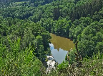
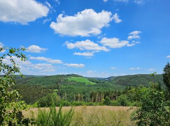
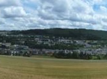
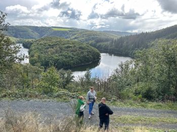
• Tronçon 2 de la boucle "Les paysages cachés" (80 km)Cette boucle de randonnée couvre un territoire très prisé par les...
Walking
Walking
Walking
Walking
Walking
On foot
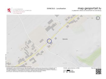
• Trail created by Ministère de l´Économie. Website: https://map.geoportail.lu/theme/tourisme?fid=176_3541016
On foot
• Trail created by Ministère de l´Économie. Website: https://map.geoportail.lu/theme/tourisme?fid=176_3541040
Walking
Walking

Walking
Walking
Walking
Walking
Walking
Walking
Walking
Walking
20 trails displayed on 159
FREE GPS app for hiking
 SityTrail
IGN / Geographical institutes
SityTrail World
The world is yours!