Mandello del Lario, Lecco: Best trails, routes and walks

Mandello del Lario: Discover the best trails: 10 hiking trails. All these trails, routes and outdoor activities are available in our SityTrail applications for smartphones and tablets.


The best trails (10)
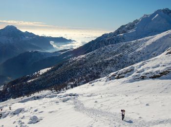
Trail On foot Mandello del Lario - Traversata Alta delle Grigne - Photo
On foot 4.567
Km
GUIDE+

On foot

Easy
Mandello del Lario, Lombardy, Lecco, Italy
4.6 km | 11.9 km-effort
2h 42min
622 m
337 m
No
SityTrail - itinéraires balisés pédestres

• Trail created by Comunità montana Lario orientale.
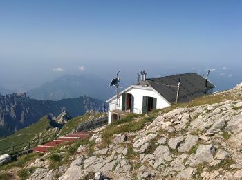
Trail On foot Mandello del Lario - Era - Via del Caminetto - Photo
On foot 4.82
Km
GUIDE+

On foot

Easy
Mandello del Lario, Lombardy, Lecco, Italy
4.8 km | 18.4 km-effort
4h 10min
1353 m
0 m
No
SityTrail - itinéraires balisés pédestres

• Trail created by Club Alpino Italiano Grigne.
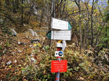
Trail On foot Mandello del Lario - Mandello - Bocchetta di Prada - Photo
On foot 5.24
Km
GUIDE+

On foot

Easy
Mandello del Lario, Lombardy, Lecco, Italy
5.2 km | 14.6 km-effort
3h 19min
915 m
77 m
No
SityTrail - itinéraires balisés pédestres

• Trail created by Club Alpino Italiano Grigne.
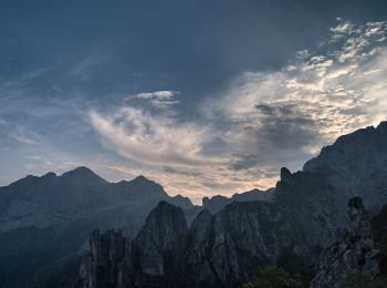
Trail On foot Mandello del Lario - Sentiero 13: Rongio - Rifugio Rosalba per la Val Portorella - Photo
On foot 5.388
Km
GUIDE+

On foot

Easy
Mandello del Lario, Lombardy, Lecco, Italy
5.4 km | 18.5 km-effort
4h 11min
1304 m
12 m
No
SityTrail - itinéraires balisés pédestres

• Trail created by Club Alpino Italiano. Symbol: red-white-red vertical bars

Trail On foot Mandello del Lario - Maggiana/Rongio - Colonghei - Rifugio Rosalba - Photo
On foot 3.016
Km
GUIDE+

On foot

Easy
Mandello del Lario, Lombardy, Lecco, Italy
3 km | 8.6 km-effort
1h 57min
558 m
3 m
No
SityTrail - itinéraires balisés pédestres

• Trail created by CAI Grigne. Symbol: yellow dots or yellow-white-red stripes

Trail On foot Mandello del Lario - Sentiero delle Foppe - Photo
On foot 3.228
Km
GUIDE+

On foot

Easy
Mandello del Lario, Lombardy, Lecco, Italy
3.2 km | 8.9 km-effort
2h 1min
557 m
37 m
No
SityTrail - itinéraires balisés pédestres

• Trail created by Club Alpino Italiano - Lecco. Symbol: red-white-red vertical bars
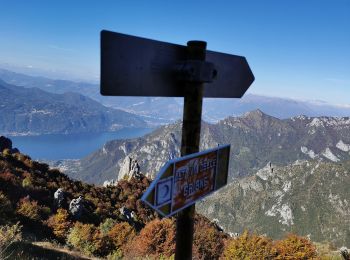
Trail On foot Mandello del Lario - Sentiero 13b: Rongio - Rifugio Rosalba per lo Zucco Pertusio - Photo
On foot 4.421
Km
GUIDE+

On foot

Easy
Mandello del Lario, Lombardy, Lecco, Italy
4.4 km | 16.5 km-effort
3h 45min
1207 m
6 m
No
SityTrail - itinéraires balisés pédestres

• Trail created by Club Alpino Italiano Grigne. Symbol: red-white-red vertical bars

Trail On foot Mandello del Lario - Rongio - Alpe Cetra - Photo
On foot 4.446
Km
GUIDE+

On foot

Easy
Mandello del Lario, Lombardy, Lecco, Italy
4.4 km | 11.1 km-effort
2h 31min
660 m
20 m
No
SityTrail - itinéraires balisés pédestres

• Trail created by Club Alpino Italiano Grigne. Rongio mt. 409 - La Gardata mt 1040 - Alpe Cetra mt 1093; F (facile); ...
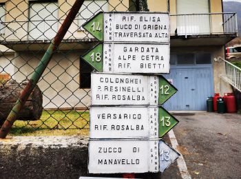
Trail On foot Mandello del Lario - Sentiero 14: Rongio - Buco di Grigna - Photo
On foot 7.62
Km
GUIDE+

On foot

Medium
Mandello del Lario, Lombardy, Lecco, Italy
7.6 km | 22 km-effort
5h 2min
1446 m
28 m
No
SityTrail - itinéraires balisés pédestres

• Trail created by Club Alpino Italiano Grigne. Rongio mt. 409 - Rifugio Elisa mt. 1515 - Bocchetta di Campione (o Buc...
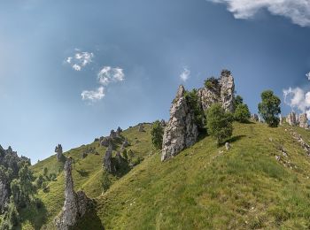
Trail On foot Mandello del Lario - Sentiero 5 - Crebbio - Piani Resinelli - Photo
On foot 3.283
Km
GUIDE+

On foot

Easy
Mandello del Lario, Lombardy, Lecco, Italy
3.3 km | 5.2 km-effort
1h 10min
3 m
568 m
No
SityTrail - itinéraires balisés pédestres

10 trails displayed on 10

FREE GPS app for hiking

Logo SityTrail SityTrail

IGN / Geographical institutes

Download SityTrail from the App Store Download SityTrail from Google Play

Logo SityTrail SityTrail World

The world is yours!

Download SityTrail from the App Store Download SityTrail from Google Play Download SityTrail on Huawei AppGallery

Activities

Close
My subscriptions