Gazzaniga, Bergamo: Best trails, routes and walks

Gazzaniga: Discover the best trails: 3 hiking trails. All these trails, routes and outdoor activities are available in our SityTrail applications for smartphones and tablets.


The best trails (3)

Trail On foot Gazzaniga - Sentiero 521: Rova (Gazzaniga) - Monte Cornagera - Photo
On foot 4.086
Km
PRO

On foot

Easy
Gazzaniga, Lombardy, Bergamo, Italy
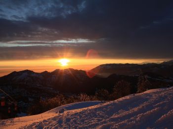
4.1 km | 11 km-effort
2h 29min
682 m
19 m
No
SityTrail - itinéraires balisés pédestres

• Il tracciato inizia lungo la strada a destra della chiesetta in piazza S. Mauro a Rova, in comune di Gazzaniga, attra...

Trail On foot Gazzaniga - Sentiero 522: Gazzaniga - Cà de Spì - Photo
On foot 4.26
Km
PRO

On foot

Easy
Gazzaniga, Lombardy, Bergamo, Italy
4.3 km | 10.1 km-effort
2h 17min
577 m
12 m
No
SityTrail - itinéraires balisés pédestres

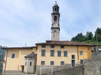
• Dalla chiesa parrocchiale di Gazzaniga si sale alla chiesetta di S. Rocco, poi ci si inoltra nella valle sino a giung...

Trail On foot Gazzaniga - Sentiero 524: Ösciöl (Orezzo) - incrocio sentiero 519 - Photo
On foot 6.763
Km
PRO

On foot

Easy
Gazzaniga, Lombardy, Bergamo, Italy
6.8 km | 15.7 km-effort
3h 33min
829 m
190 m
No
SityTrail - itinéraires balisés pédestres

• Trail created by Club Alpino Italiano Bergamo. Symbol: red-white-red vertical bars

3 trails displayed on 3

FREE GPS app for hiking

Logo SityTrail SityTrail

IGN / Geographical institutes

Download SityTrail from the App Store Download SityTrail from Google Play

Logo SityTrail SityTrail World

The world is yours!

Download SityTrail from the App Store Download SityTrail from Google Play Download SityTrail on Huawei AppGallery

Activities

Close
My subscriptions