


7.9 km | 11.3 km-effort
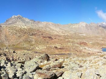
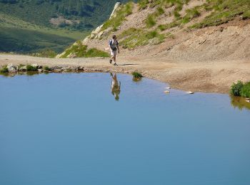
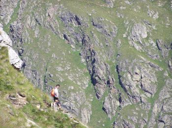
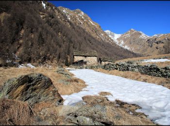
Ponte di Legno: Discover the best trails: 9 hiking trails. All these trails, routes and outdoor activities are available in our SityTrail applications for smartphones and tablets.
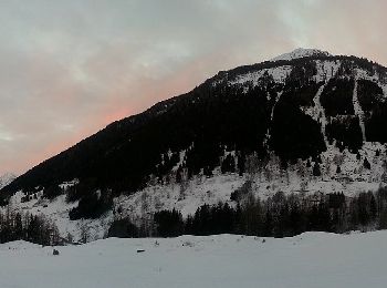
On foot


• Symbol: horizontal light blue upper bar and white lower
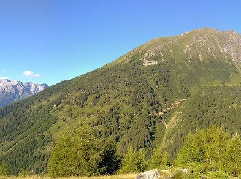
On foot
• Symbol: horizontal light blue upper bar and white lower
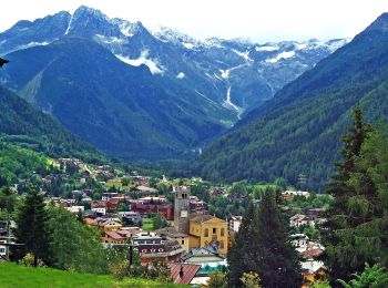
On foot
• Symbol: horizontal light blue upper bar and white lower
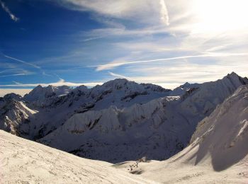
On foot
• Trail created by Club Alpino Italiano. DA COMPLETARE Symbol: 163 on white red flag
On foot
• Trail created by Club Alpino Italiano. DA VERIFICARE Symbol: 153 on white red flag
On foot
• Sentiero Italia CAI 2019
On foot
• Trail created by Club Alpino Italiano. Symbol: 158 on white red flag
On foot
• DA COMPLETARE Symbol: 157 on white red flag

On foot
• DA COMPLETARE Symbol: 159 on white red flag
9 trails displayed on 9
FREE GPS app for hiking
 SityTrail
IGN / Geographical institutes
SityTrail World
The world is yours!