Zona Centro, Brescia: Best trails, routes and walks

Zona Centro: Discover the best trails: 10 hiking trails. All these trails, routes and outdoor activities are available in our SityTrail applications for smartphones and tablets.


The best trails (10)

Trail On foot Brescia - Monte Maddalena da Botticino Sera - Photo
On foot 3.435
Km
GUIDE+

On foot

Easy
Brescia, Lombardy, Brescia, Italy
3.4 km | 5.7 km-effort
1h 18min
0 m
691 m
No
SityTrail - itinéraires balisés pédestres

• Trail created by Gruppo Escursionisti San Gallo. Symbol: 914 on white red flag
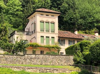
Trail On foot Brescia - Cascina Margherita per la Colletera e Sentiero Gasusì - Photo
On foot 4.541
Km
GUIDE+

On foot

Easy
Brescia, Lombardy, Brescia, Italy
4.5 km | 6 km-effort
1h 21min
8 m
410 m
No
SityTrail - itinéraires balisés pédestres

• Trail created by Gruppo Monte Maddalena. Symbol: 907 on white red flag
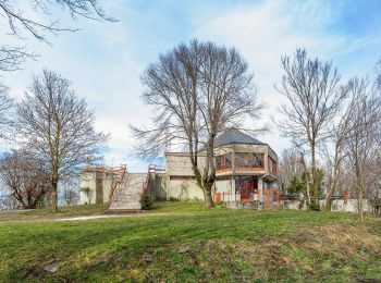
Trail On foot Brescia - Sentiero delle pozze - Photo
On foot 3.439
Km
GUIDE+

On foot

Easy
Brescia, Lombardy, Brescia, Italy
3.4 km | 5.7 km-effort
1h 17min
170 m
170 m
Yes
SityTrail - itinéraires balisés pédestres

• Trail created by Federazione Italiana della Caccia - Sezione Comunale di Brescia. Symbol: unmarked
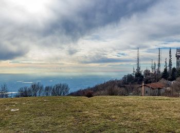
Trail On foot Brescia - Sentiero Brigata Fiamme Verdi Dieci Giornate - Photo
On foot 5.869
Km
GUIDE+

On foot

Easy
Brescia, Lombardy, Brescia, Italy
5.9 km | 8.8 km-effort
1h 59min
217 m
224 m
No
SityTrail - itinéraires balisés pédestres

• Trail created by Gruppo Operativo Volontario Sentieri della Resistenza Bresciana. Symbol: 14 on green white red flag

Trail On foot Brescia - Sentiero Agostino Brignoli - Photo
On foot 4.708
Km
GUIDE+

On foot

Easy
Brescia, Lombardy, Brescia, Italy
4.7 km | 6.8 km-effort
1h 33min
7 m
620 m
No
SityTrail - itinéraires balisés pédestres

• Trail created by Gruppo Antincendio Nave. Symbol: 911 on white red flag

Trail On foot Brescia - Monte Maddalena per Via del Patrocinio e la Valle delle Fontanelle - Photo
On foot 6.083
Km
GUIDE+

On foot

Easy
Brescia, Lombardy, Brescia, Italy
6.1 km | 8.7 km-effort
1h 58min
32 m
690 m
No
SityTrail - itinéraires balisés pédestres

• Trail created by C.B. Leonessa. Symbol: 905 on white red flag
Trail On foot Brescia - Chiesetta Monte Maddalena da San Fiorano per il Sentér Bandìt - Photo
On foot 5.354
Km
GUIDE+

On foot

Easy
Brescia, Lombardy, Brescia, Italy
5.4 km | 12.3 km-effort
2h 47min
691 m
16 m
No
SityTrail - itinéraires balisés pédestres

• Trail created by Associazione Nazionale Uccellatori ed Uccellinai Migratoristi - Gruppo Ronchi Di Brescia. Symbol: 9...

Trail On foot Brescia - Monte Maddalena per il Triinale - Photo
On foot 3.793
Km
GUIDE+

On foot

Easy
Brescia, Lombardy, Brescia, Italy
3.8 km | 6.3 km-effort
1h 26min
29 m
678 m
No
SityTrail - itinéraires balisés pédestres

• Trail created by Gruppo di Protezione Civile Val Carobbio. Symbol: 902 on white red flag

Trail On foot Brescia - Monte Maddalena da Sant'Eufemia - Photo
On foot 4.383
Km
GUIDE+

On foot

Easy
Brescia, Lombardy, Brescia, Italy
4.4 km | 6.8 km-effort
1h 33min
15 m
695 m
No
SityTrail - itinéraires balisés pédestres

• Trail created by Gruppo di Protezione Civile Val Carobbio. Symbol: 901 on white red flag

Trail On foot Brescia - Sentér dei Brüsàcc - Photo
On foot 3.559
Km
GUIDE+

On foot

Easy
Brescia, Lombardy, Brescia, Italy
3.6 km | 7.8 km-effort
1h 45min
316 m
313 m
Yes
SityTrail - itinéraires balisés pédestres

• Trail created by Gnari de Mompià. Symbol: white red flag

10 trails displayed on 10

FREE GPS app for hiking

Logo SityTrail SityTrail

IGN / Geographical institutes

Download SityTrail from the App Store Download SityTrail from Google Play

Logo SityTrail SityTrail World

The world is yours!

Download SityTrail from the App Store Download SityTrail from Google Play Download SityTrail on Huawei AppGallery

Activities

Close
My subscriptions