


8.9 km | 20 km-effort
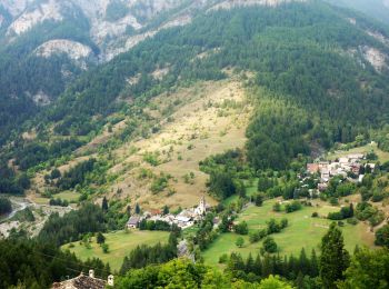
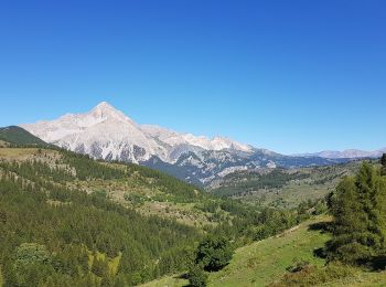
Cesana Torinese: Discover the best trails: 8 hiking trails. All these trails, routes and outdoor activities are available in our SityTrail applications for smartphones and tablets.
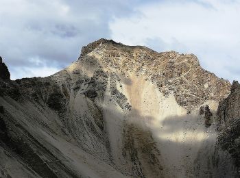
On foot


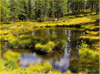
On foot
On foot
On foot
Walking
• Via Alta d'Arles à Vercelli
On foot

Nordic walking

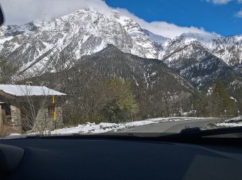
Touring skiing
Cross-country skiing

Walking

Winter sports
11 trails displayed on 11
FREE GPS app for hiking
 SityTrail
IGN / Geographical institutes
SityTrail World
The world is yours!