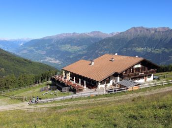
Latsch - Laces, South Tyrol: Best trails, routes and walks

Latsch - Laces: Discover the best trails: 14 hiking trails. All these trails, routes and outdoor activities are available in our SityTrail applications for smartphones and tablets.


The best trails (14)
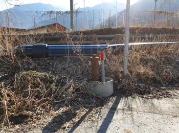
Trail On foot Latsch - Laces - IT-4 - Photo
On foot 6.18
Km
PRO

On foot

Easy
Latsch - Laces, Trentino-Alto Adige/Südtirol, South Tyrol, Italy
6.2 km | 17 km-effort
3h 51min
1076 m
22 m
No
SityTrail - itinéraires balisés pédestres

• Trail created by Alpenverein Südtirol. Symbol: rot-weiß-rot mit schwarzer 4
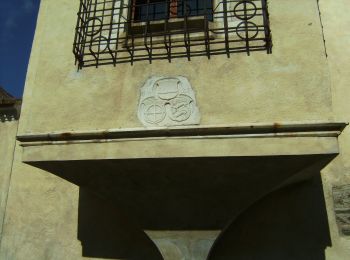
Trail On foot Latsch - Laces - Goldrainer Panoramaweg - Sentiero panoramico di Coldrano - Photo
On foot 4.234
Km
PRO

On foot

Easy
Latsch - Laces, Trentino-Alto Adige/Südtirol, South Tyrol, Italy
4.2 km | 7.1 km-effort
1h 37min
211 m
232 m
No
SityTrail - itinéraires balisés pédestres

• Trail created by TV Latsch - Martell.
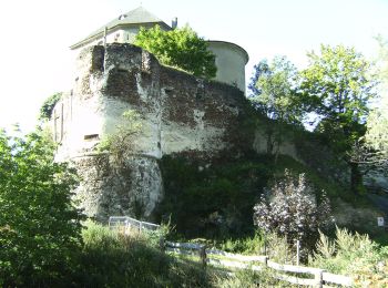
Trail On foot Latsch - Laces - 6 - Photo
On foot 14.441
Km
PRO

On foot

Difficult
Latsch - Laces, Trentino-Alto Adige/Südtirol, South Tyrol, Italy
14.4 km | 40 km-effort
8h 59min
2477 m
98 m
No
SityTrail - itinéraires balisés pédestres

• Trail created by AVS.

Trail On foot Latsch - Laces - 7 - Photo
On foot 4.876
Km
PRO

On foot

Easy
Latsch - Laces, Trentino-Alto Adige/Südtirol, South Tyrol, Italy
4.9 km | 15.5 km-effort
3h 31min
1059 m
17 m
No
SityTrail - itinéraires balisés pédestres

• Trail created by AVS.

Trail On foot Latsch - Laces - IT-1 - Photo
On foot 10.686
Km
PRO

On foot

Medium
Latsch - Laces, Trentino-Alto Adige/Südtirol, South Tyrol, Italy
10.7 km | 29 km-effort
6h 39min
1859 m
0 m
No
SityTrail - itinéraires balisés pédestres

• Trail created by Alpenverein Südtirol. Symbol: rot-weiß-rot mit schwarzer 1
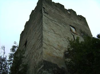
Trail On foot Latsch - Laces - IT-12 - Photo
On foot 12.454
Km
PRO

On foot

Medium
Latsch - Laces, Trentino-Alto Adige/Südtirol, South Tyrol, Italy
12.5 km | 27 km-effort
6h 8min
1383 m
213 m
No
SityTrail - itinéraires balisés pédestres

• Trail created by Alpenverein Südtirol.

Trail On foot Latsch - Laces - Waalrundweg - Photo
On foot 6.041
Km
PRO

On foot

Easy
Latsch - Laces, Trentino-Alto Adige/Südtirol, South Tyrol, Italy
6 km | 8.7 km-effort
1h 58min
197 m
199 m
Yes
SityTrail - itinéraires balisés pédestres

Trail On foot Latsch - Laces - Rundweg Montani - Photo
On foot 4.089
Km
PRO

On foot

Easy
Latsch - Laces, Trentino-Alto Adige/Südtirol, South Tyrol, Italy
4.1 km | 6.5 km-effort
1h 29min
230 m
44 m
No
SityTrail - itinéraires balisés pédestres

Trail On foot Latsch - Laces - IT-6 - Photo
On foot 3.373
Km
PRO

On foot

Easy
Latsch - Laces, Trentino-Alto Adige/Südtirol, South Tyrol, Italy
3.4 km | 5.9 km-effort
1h 20min
188 m
199 m
Yes
SityTrail - itinéraires balisés pédestres

Trail On foot Latsch - Laces - IT-9 - Photo
On foot 7.461
Km
PRO

On foot

Easy
Latsch - Laces, Trentino-Alto Adige/Südtirol, South Tyrol, Italy
7.5 km | 13.6 km-effort
3h 5min
327 m
858 m
No
SityTrail - itinéraires balisés pédestres

• Trail created by Alpenverein Südtirol. Symbol: rot-weiß-rot mit schwarzer 9

Trail On foot Latsch - Laces - IT-2 - Photo
On foot 9.941
Km
PRO

On foot

Medium
Latsch - Laces, Trentino-Alto Adige/Südtirol, South Tyrol, Italy
9.9 km | 31 km-effort
6h 58min
2070 m
7 m
No
SityTrail - itinéraires balisés pédestres

• Trail created by Alpenverein Südtirol.

Trail On foot Latsch - Laces - IT-15 - Photo
On foot 5.237
Km
PRO

On foot

Easy
Latsch - Laces, Trentino-Alto Adige/Südtirol, South Tyrol, Italy
5.2 km | 12.8 km-effort
2h 53min
685 m
201 m
No
SityTrail - itinéraires balisés pédestres

• Trail created by Alpenverein Südtirol. Symbol: rot-weiß-rot mit schwarzer 15

Trail On foot Latsch - Laces - 10 - Photo
On foot 3.889
Km
PRO

On foot

Easy
Latsch - Laces, Trentino-Alto Adige/Südtirol, South Tyrol, Italy
3.9 km | 11.8 km-effort
2h 41min
782 m
31 m
No
SityTrail - itinéraires balisés pédestres

• Trail created by Alpenverein Südtirol. Symbol: rot-weiß-rot mit schwarzer 10

Trail On foot Latsch - Laces - IT-14 - Photo
On foot 8.857
Km
PRO

On foot

Medium
Latsch - Laces, Trentino-Alto Adige/Südtirol, South Tyrol, Italy
8.9 km | 28 km-effort
6h 26min
1951 m
4 m
No
SityTrail - itinéraires balisés pédestres

14 trails displayed on 14

FREE GPS app for hiking

Logo SityTrail SityTrail

IGN / Geographical institutes

Download SityTrail from the App Store Download SityTrail from Google Play

Logo SityTrail SityTrail World

The world is yours!

Download SityTrail from the App Store Download SityTrail from Google Play Download SityTrail on Huawei AppGallery

Activities

Close
My subscriptions