
Trentino-Alto Adige/Südtirol, Italy: Best trails, routes and walks
Trentino-Alto Adige/Südtirol: Discover the best trails: 1,934 hiking trails and 31 bike and mountain-bike routes. All these trails, routes and outdoor activities are available in our SityTrail applications for smartphones and tablets.
The best trails (1993)
Km
Walking


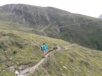
• Faite le 27/07/2017 avec notre fils Théo de 12 ans.
Km
Walking


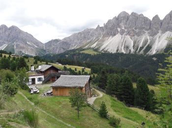
• Faite le 26/07/2017 avec notre fils Théo de 12 ans. Montée en téléphérique depuis la Skihütte, retour à pied.
Km
Walking


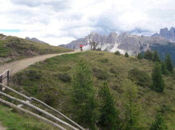
• Faite le 25/07/2017 avec notre fils Théo de 12 ans.
Km
Walking


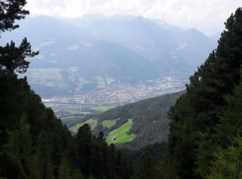
• Faite le 22/07/2017 avec notre fils Théo de 12 ans.
Km
Walking


Km
Walking


Km
Walking


Km
Walking


Km
On foot


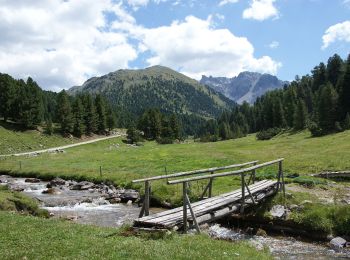
• Leave S-charl in a southeastern direction and follow the valley floor to Plan d'Immez. From here, turn into the Val P...
Km
On foot


• Trail created by AVS.
Km
On foot


• Trail created by Associazione Filò.
Km
On foot


• Trail created by AVS.

Km
On foot


• Trail created by AVS.
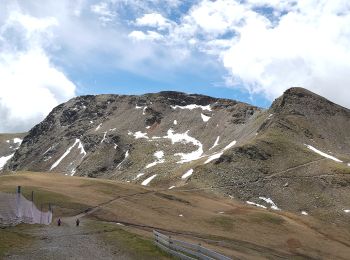
Km
On foot


• Trail created by AVS.
Km
On foot


• Trail created by Alpenverein Südtirol. Symbol: rot-weiß-rot mit schwarzer 4
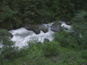
Km
On foot


• Trail created by AVS.
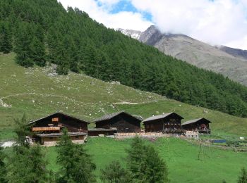
Km
On foot


• Trail created by Alpenverein Südtirol.
Km
On foot


• Trail created by AVS.
Km
On foot


• Trail created by AVS.
Km
On foot


• Trail created by AVS.
20 trails displayed on 1993
FREE GPS app for hiking


 SityTrail


