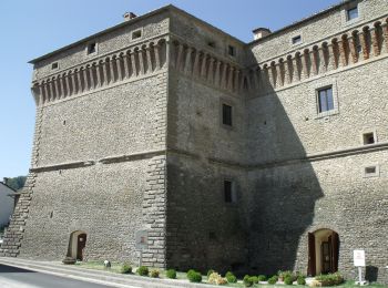
Borgo Tossignano, Bologna: Best trails, routes and walks

Borgo Tossignano: Discover the best trails: 8 hiking trails. All these trails, routes and outdoor activities are available in our SityTrail applications for smartphones and tablets.


The best trails (8)
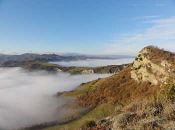
Trail On foot Borgo Tossignano - L'Anello della Riva di San Biagio - Photo
On foot 6.097
Km
GUIDE+

On foot

Easy
Borgo Tossignano, Emilia-Romagna, Bologna, Italy
6.1 km | 11.8 km-effort
2h 41min
516 m
170 m
No
SityTrail - itinéraires balisés pédestres

• Trail created by Parco Regionale Vena del Gesso Romagnola.

Trail On foot Borgo Tossignano - IT-709 - Photo
On foot 5.065
Km
GUIDE+

On foot

Easy
Borgo Tossignano, Emilia-Romagna, Bologna, Italy
5.1 km | 8 km-effort
1h 49min
250 m
139 m
No
SityTrail - itinéraires balisés pédestres

• Trail created by CAI Imola. Relation maintened by Gabriele Sani (CAI-FA) Symbol: 709 on white red flag Website: h...
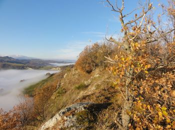
Trail On foot Borgo Tossignano - IT-705 - Photo
On foot 14.121
Km
GUIDE+

On foot

Medium
Borgo Tossignano, Emilia-Romagna, Bologna, Italy
14.1 km | 23 km-effort
5h 19min
698 m
709 m
Yes
SityTrail - itinéraires balisés pédestres

• Trail created by CAI Imola. Relation maintened by Gabriele Sani (CAI-FA) Symbol: 705 on white red flag Website: h...
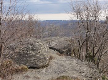
Trail On foot Borgo Tossignano - IT-701 - Photo
On foot 36.186
Km
GUIDE+

On foot

Very difficult
Borgo Tossignano, Emilia-Romagna, Bologna, Italy
36 km | 57 km-effort
12h 58min
1774 m
946 m
No
SityTrail - itinéraires balisés pédestres

• Trail created by CAI Imola. Relation maintened by Gabriele Sani (CAI-FA) Symbol: 701 on white red flag Website: h...

Trail On foot Borgo Tossignano - Corolla delle Ginestre - Photo
On foot 55.757
Km
GUIDE+

On foot

Very difficult
Borgo Tossignano, Emilia-Romagna, Bologna, Italy
56 km | 94 km-effort
21h 22min
2874 m
2867 m
Yes
SityTrail - itinéraires balisés pédestres

Trail On foot Borgo Tossignano - Alta Via dei Parchi: Tappa 15 - Photo
On foot 14.802
Km
GUIDE+

On foot

Medium
Borgo Tossignano, Emilia-Romagna, Bologna, Italy
14.8 km | 21 km-effort
4h 50min
426 m
681 m
No
SityTrail - itinéraires balisés pédestres

Trail On foot Borgo Tossignano - L'Anello di Monte Penzola - Photo
On foot 12.5
Km
GUIDE+

On foot

Easy
Borgo Tossignano, Emilia-Romagna, Bologna, Italy
12.5 km | 20 km-effort
4h 32min
558 m
568 m
Yes
SityTrail - itinéraires balisés pédestres

• Trail created by Parco Regionale Vena del Gesso Romagnola.

Trail On foot Borgo Tossignano - IT-703 - Photo
On foot 12.249
Km
GUIDE+

On foot

Easy
Borgo Tossignano, Emilia-Romagna, Bologna, Italy
12.2 km | 19.8 km-effort
4h 29min
564 m
567 m
No
SityTrail - itinéraires balisés pédestres

• Trail created by CAI Imola. Relation maintened by Gabriele Sani (CAI-FA) Symbol: 703 on white red flag Website: h...

8 trails displayed on 8

FREE GPS app for hiking

Logo SityTrail SityTrail

IGN / Geographical institutes

Download SityTrail from the App Store Download SityTrail from Google Play

Logo SityTrail SityTrail World

The world is yours!

Download SityTrail from the App Store Download SityTrail from Google Play Download SityTrail on Huawei AppGallery

Activities

Close
My subscriptions