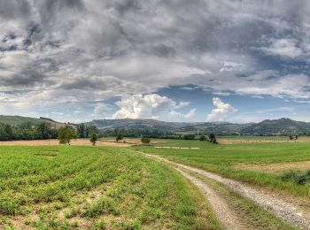
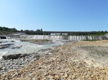
Castellarano, Reggio nell'Emilia: Best trails, routes and walks

Castellarano: Discover the best trails: 7 hiking trails. All these trails, routes and outdoor activities are available in our SityTrail applications for smartphones and tablets.


The best trails (7)
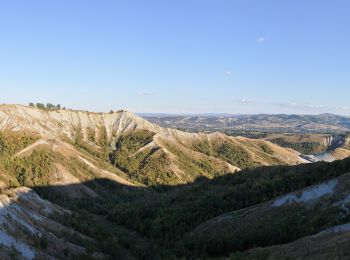
Trail On foot Castellarano - IT-602F - Photo
On foot 4.719
Km
PRO

On foot

Easy
Castellarano, Emilia-Romagna, Reggio nell'Emilia, Italy
4.7 km | 7.3 km-effort
1h 40min
247 m
48 m
No
SityTrail - itinéraires balisés pédestres

• Symbol: 602F on white red flags

Trail On foot Castellarano - Croce di San Valentino - Montebabbio - Telarolo - Monte Maestà Bianca - Photo
On foot 12.781
Km
PRO

On foot

Easy
Castellarano, Emilia-Romagna, Reggio nell'Emilia, Italy
12.8 km | 17.6 km-effort
3h 59min
333 m
443 m
No
SityTrail - itinéraires balisés pédestres

• Symbol: 602D on white red flags

Trail On foot Castellarano - IT-602 - Photo
On foot 22.4
Km
PRO

On foot

Medium
Castellarano, Emilia-Romagna, Reggio nell'Emilia, Italy
22 km | 30 km-effort
6h 47min
564 m
560 m
Yes
SityTrail - itinéraires balisés pédestres

• Trail created by Provincia di Reggio Emilia. Symbol: 602 on white red flags
Trail On foot Castellarano - IT-602C - Photo
On foot 5.507
Km
PRO

On foot

Easy
Castellarano, Emilia-Romagna, Reggio nell'Emilia, Italy
5.5 km | 7.3 km-effort
1h 39min
93 m
247 m
No
SityTrail - itinéraires balisés pédestres

• Symbol: 602C on white red flags

Trail On foot Castellarano - Sentiero del rosario - Photo
On foot 5.145
Km
PRO

On foot

Easy
Castellarano, Emilia-Romagna, Reggio nell'Emilia, Italy
5.1 km | 6.5 km-effort
1h 28min
67 m
200 m
No
SityTrail - itinéraires balisés pédestres

• Symbol: 602M on white red flags

Trail On foot Castellarano - Monte Le Malee - Castellarano - Photo
On foot 5.141
Km
PRO

On foot

Easy
Castellarano, Emilia-Romagna, Reggio nell'Emilia, Italy
5.1 km | 6.5 km-effort
1h 28min
40 m
283 m
No
SityTrail - itinéraires balisés pédestres

• Symbol: 602B on white red flags

Trail On foot Castellarano - Roteglia - Rontano - Monte Stadola - Monte Maestà Nera - Roteglia - Photo
On foot 10.331
Km
PRO

On foot

Easy
Castellarano, Emilia-Romagna, Reggio nell'Emilia, Italy
10.3 km | 16.3 km-effort
3h 41min
444 m
445 m
Yes
SityTrail - itinéraires balisés pédestres

• Trail created by Comune di Castellarano. Symbol: 602A on white red flags

7 trails displayed on 7

FREE GPS app for hiking

Logo SityTrail SityTrail

IGN / Geographical institutes

Download SityTrail from the App Store Download SityTrail from Google Play

Logo SityTrail SityTrail World

The world is yours!

Download SityTrail from the App Store Download SityTrail from Google Play Download SityTrail on Huawei AppGallery

Activities

Close
My subscriptions