![](/images/other/stat-length.png)
Alfedena, L'Aquila: Best trails, routes and walks
Alfedena: Discover the best trails: 3 hiking trails. All these trails, routes and outdoor activities are available in our SityTrail applications for smartphones and tablets.
The best trails (3)
![Trail Walking Alfedena - La Meta Abruzzes montagne sommet 13 km - Photo](https://media.geolcdn.com/t/350/260/ext.jpg?maxdim=2&url=https%3A%2F%2Fservices.sitytrail.com%2FGeolivesWS%2FDownloadMedia.ashx%3FTrailID%3D1003260%26Media%3D20180712171024.jpg)
![Walking Walking](https://static1.geolcdn.com/sitytour/trail-icons/101.png)
Km
#1 - La Meta Abruzzes montagne sommet 13 km
Walking
Medium
Alfedena,
Abruzzo,
L'Aquila,
Italy
![](/images/other/stat-length.png)
13.5 km | 26 km-effort
5h 9min
![](https://static1.geolcdn.com/siteimages/upload/files/1508320355ic_sort_den_pos_24dp.png)
919 m
![](https://static1.geolcdn.com/siteimages/upload/files/1508320355ic_sort_den_neg_24dp.png)
923 m
![](https://static1.geolcdn.com/siteimages/upload/files/16400158638029165_repeat_loop_refresh_sync_direction_icon.png)
Yes
rvapeldo
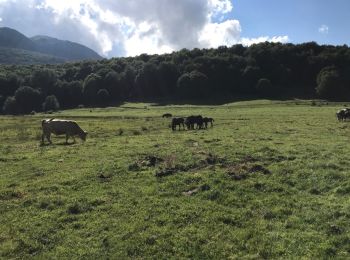
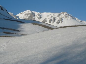
• Ambiance montagne pour le sommet de la Meta (2242 m, mon gps est plus pessimiste). La montée est bien dosée depuis de...
![Trail On foot Alfedena - Campitelli - Passo dei Monaci - Photo](https://media.geolcdn.com/t/350/260/d76716a7-1457-4bbf-8c18-f50f13237f7b.jpeg&format=jpg&maxdim=2)
![On foot On foot](https://static1.geolcdn.com/sitytour/trail-icons/100.png)
Km
#2 - Campitelli - Passo dei Monaci
On foot
Easy
Alfedena,
Abruzzo,
L'Aquila,
Italy
![](/images/other/stat-length.png)
5.8 km | 14.2 km-effort
3h 13min
![](https://static1.geolcdn.com/siteimages/upload/files/1508320355ic_sort_den_pos_24dp.png)
820 m
![](https://static1.geolcdn.com/siteimages/upload/files/1508320355ic_sort_den_neg_24dp.png)
46 m
![](https://static1.geolcdn.com/siteimages/upload/files/16400158638029165_repeat_loop_refresh_sync_direction_icon.png)
No
SityTrail - itinéraires balisés pédestres
• Symbol: L1 on white red flags
![Trail On foot Alfedena - Anello del Monte Meta - Photo](https://media.geolcdn.com/t/350/260/ext.jpg?maxdim=2&url=https%3A%2F%2Fstatic1.geolcdn.com%2Fsiteimages%2Fupload%2Ffiles%2F1545311037marcheuse_200dpi.jpg)
![On foot On foot](https://static1.geolcdn.com/sitytour/trail-icons/100.png)
Km
#3 - Anello del Monte Meta
On foot
Difficult
Alfedena,
Abruzzo,
L'Aquila,
Italy
![](/images/other/stat-length.png)
18.3 km | 35 km-effort
7h 55min
![](https://static1.geolcdn.com/siteimages/upload/files/1508320355ic_sort_den_pos_24dp.png)
1247 m
![](https://static1.geolcdn.com/siteimages/upload/files/1508320355ic_sort_den_neg_24dp.png)
1225 m
![](https://static1.geolcdn.com/siteimages/upload/files/16400158638029165_repeat_loop_refresh_sync_direction_icon.png)
No
SityTrail - itinéraires balisés pédestres
3 trails displayed on 3
FREE GPS app for hiking