


13.9 km | 21 km-effort
Trevi: Discover the best trails: 7 hiking trails. All these trails, routes and outdoor activities are available in our SityTrail applications for smartphones and tablets.
On foot


• È un unico cammino per raggiungere Assisi sui passi di San Francesco, partendo da Nord (La Verna) o da Sud (Roma) . È...

On foot
• È un unico cammino per raggiungere Assisi sui passi di San Francesco, partendo da Nord (La Verna) o da Sud (Roma) . È...

On foot
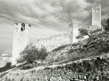
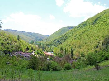
• Trail created by CAI Foligno. Symbol: red and white stripes
On foot
• Trail created by CAI Foligno. Symbol: red and white stripes

On foot
• Trail created by CAI Foligno. Symbol: red and white stripes
On foot
• Trail created by CAI Foligno. Symbol: red and white stripes
On foot
• Trail created by CAI Foligno. Symbol: red and white stripes
7 trails displayed on 7
FREE GPS app for hiking
 SityTrail
IGN / Geographical institutes
SityTrail World
The world is yours!