![](/images/other/stat-length.png)
County Westmeath, Unknown: Best trails, routes and walks
County Westmeath: Discover the best trails: 2 hiking trails. All these trails, routes and outdoor activities are available in our SityTrail applications for smartphones and tablets.
The best trails (3)
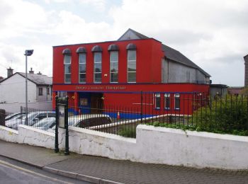
![Trail On foot The Municipal District of Athlone — Moate - Shannon Banks Nature Trail - Photo](https://media.geolcdn.com/t/350/260/702550e7-f7c3-409e-98db-5ab515fdce75.jpeg&format=jpg&maxdim=2)
![On foot On foot](https://static1.geolcdn.com/sitytour/trail-icons/100.png)
Km
#1 - Shannon Banks Nature Trail
On foot
Easy
The Municipal District of Athlone — Moate,
Unknown,
County Westmeath,
Ireland
![](/images/other/stat-length.png)
5 km | 5.4 km-effort
1h 13min
![](https://static1.geolcdn.com/siteimages/upload/files/1508320355ic_sort_den_pos_24dp.png)
31 m
![](https://static1.geolcdn.com/siteimages/upload/files/1508320355ic_sort_den_neg_24dp.png)
33 m
![](https://static1.geolcdn.com/siteimages/upload/files/16400158638029165_repeat_loop_refresh_sync_direction_icon.png)
Yes
SityTrail - itinéraires balisés pédestres
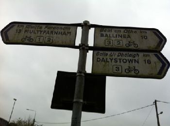
![Trail Walking The Municipal District of Mullingar — Kinnegad - Mullingar Short Walks - Photo](https://media.geolcdn.com/t/350/260/ext.jpg?maxdim=2&url=https%3A%2F%2Fservices.sitytrail.com%2FGeolivesWS%2FDownloadMedia.ashx%3FTrailID%3D178590%26Media%3D20130307135830.jpg)
![Walking Walking](https://static1.geolcdn.com/sitytour/trail-icons/101.png)
Km
#2 - Mullingar Short Walks
Walking
Very easy
The Municipal District of Mullingar — Kinnegad,
Unknown,
County Westmeath,
Ireland
![](/images/other/stat-length.png)
7.7 km | 8.2 km-effort
1h 50min
![](https://static1.geolcdn.com/siteimages/upload/files/1508320355ic_sort_den_pos_24dp.png)
36 m
![](https://static1.geolcdn.com/siteimages/upload/files/1508320355ic_sort_den_neg_24dp.png)
36 m
![](https://static1.geolcdn.com/siteimages/upload/files/16400158638029165_repeat_loop_refresh_sync_direction_icon.png)
Yes
mlmoroneybb
• A longer, relaxing walk of less than eight kilometers along the banks of the Royal Canal and through the hinterlands ...
![Trail Car The Municipal District of Athlone — Moate - j06-3 - Photo](https://media.geolcdn.com/t/350/260/ext.jpg?maxdim=2&url=https%3A%2F%2Fstatic1.geolcdn.com%2Fsiteimages%2Fupload%2Ffiles%2F15247431544x4.jpg)
![Car Car](https://static1.geolcdn.com/sitytour/trail-icons/401.png)
Km
#3 - j06-3
Car
Very easy
The Municipal District of Athlone — Moate,
Unknown,
County Westmeath,
Ireland
![](/images/other/stat-length.png)
27 km | 29 km-effort
29min
![](https://static1.geolcdn.com/siteimages/upload/files/1508320355ic_sort_den_pos_24dp.png)
171 m
![](https://static1.geolcdn.com/siteimages/upload/files/1508320355ic_sort_den_neg_24dp.png)
174 m
![](https://static1.geolcdn.com/siteimages/upload/files/16400158638029165_repeat_loop_refresh_sync_direction_icon.png)
No
DUPORT16
3 trails displayed on 3
FREE GPS app for hiking