Csongrád-Csanád County, Great Plain and North: Best trails, routes and walks

Csongrád-Csanád County: Discover the best trails: 7 hiking trails. All these trails, routes and outdoor activities are available in our SityTrail applications for smartphones and tablets.


The best trails (7)

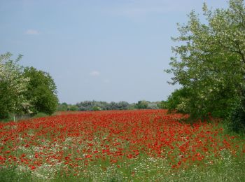
Trail On foot Ópusztaszer - K+ Kistelek vá. – Ópusztaszer Nemzeti Történeti Emlékpark - Photo
On foot 11.787
Km
GUIDE+

On foot

Easy
Ópusztaszer, Great Plain and North, Csongrád-Csanád County, Hungary
11.8 km | 12.7 km-effort
2h 52min
69 m
61 m
No
SityTrail - itinéraires balisés pédestres

• Trail created by DÉMÁSZ Elektromos SE.
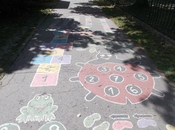
Trail On foot Öttömös - S Petróczi iskola (AK) - Csongrád megye magaspontja - Öttömös - Photo
On foot 12.947
Km
GUIDE+

On foot

Easy
Öttömös, Great Plain and North, Csongrád-Csanád County, Hungary
12.9 km | 14.2 km-effort
3h 13min
91 m
92 m
No
SityTrail - itinéraires balisés pédestres

• Trail created by CSMTSZ. Symbol: Yellow bar on white background
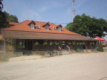
Trail On foot Derekegyház - Zq (Derekegyház) - Photo
On foot 4.934
Km
GUIDE+

On foot

Easy
Derekegyház, Great Plain and North, Csongrád-Csanád County, Hungary
4.9 km | 5.2 km-effort
1h 10min
20 m
20 m
No
SityTrail - itinéraires balisés pédestres

• Trail created by Derekegyház ÖK. felhagyott turistaút

Trail On foot Szatymaz - K3 - Photo
On foot 4.123
Km
GUIDE+

On foot

Easy
Szatymaz, Great Plain and North, Csongrád-Csanád County, Hungary
4.1 km | 4.4 km-effort
59min
21 m
13 m
No
SityTrail - itinéraires balisés pédestres

• Trail created by Bíbic TK.

Trail On foot Ásotthalom - K+ Back-Kápolna – Ásotthalom - Photo
On foot 16.208
Km
GUIDE+

On foot

Easy
Ásotthalom, Great Plain and North, Csongrád-Csanád County, Hungary
16.2 km | 17.5 km-effort
3h 58min
102 m
88 m
No
SityTrail - itinéraires balisés pédestres

• Trail created by Crocus TK.

Trail On foot Hódmezővásárhely - K↺ - Photo
On foot 3.023
Km
GUIDE+

On foot

Easy
Hódmezővásárhely, Great Plain and North, Csongrád-Csanád County, Hungary
3 km | 3.3 km-effort
44min
18 m
20 m
Yes
SityTrail - itinéraires balisés pédestres

• Trail created by Hód-Mentor Sportegyesület.

Trail On foot Ásotthalom - K4 AKT - Bűbáj-birtok - Ásotthalmi elágazás am - Photo
On foot 3.847
Km
GUIDE+

On foot

Easy
Ásotthalom, Great Plain and North, Csongrád-Csanád County, Hungary
3.8 km | 4.2 km-effort
56min
24 m
22 m
No
SityTrail - itinéraires balisés pédestres

• Trail created by Crocus TK.

7 trails displayed on 7

FREE GPS app for hiking

Logo SityTrail SityTrail

IGN / Geographical institutes

Download SityTrail from the App Store Download SityTrail from Google Play

Logo SityTrail SityTrail World

The world is yours!

Download SityTrail from the App Store Download SityTrail from Google Play Download SityTrail on Huawei AppGallery

Activities

Nearby regions

Close
My subscriptions