


3 km | 3.6 km-effort
Budapest: Discover the best trails: 42 hiking trails and 2 bike and mountain-bike routes. All these trails, routes and outdoor activities are available in our SityTrail applications for smartphones and tablets.
On foot


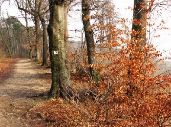
• Symbol: red T
On foot
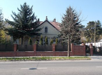
• Symbol: red T
On foot
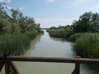
• Symbol: blue square
On foot
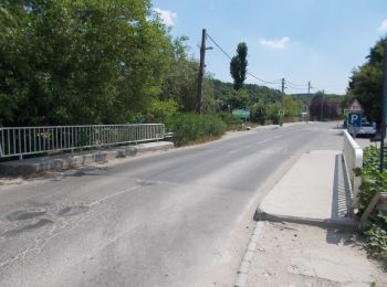
• Symbol: green T
On foot
• Rákoshegy - Merzse-mocsár, és Csordakút utca - Pécel között felmérendő, és a Merzse-mocsár környéként nem egyértelmű ...
On foot
• Trail created by BTSSZ.
On foot
• Trail created by BTSSZ.
On foot
• Trail created by BTSSZ.
On foot
• Trail created by BTSSZ.
On foot
• Trail created by BTSSZ.
On foot
On foot
On foot
On foot
On foot
On foot
On foot
On foot
On foot
On foot
20 trails displayed on 46
FREE GPS app for hiking
 SityTrail
IGN / Geographical institutes
SityTrail World
The world is yours!