- Trails
- Outdoor
- Greece
- Peloponnese, Western Greece and the Ionian
- Messenia Regional Unit
Messenia Regional Unit, Peloponnese, Western Greece and the Ionian: Best trails, routes and walks
Messenia Regional Unit: Discover the best trails: 1 hiking trails. All these trails, routes and outdoor activities are available in our SityTrail applications for smartphones and tablets.
The best trails (3)

Km
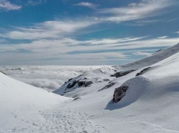
#1 - Pathway to Taygetos Peak


On foot
Easy
,
Peloponnese, Western Greece and the Ionian,
Messenia Regional Unit,
Greece

8.6 km | 19.9 km-effort
4h 31min

865 m

811 m
No
SityTrail - itinéraires balisés pédestres
• Trail created by Alpine Club of Kalamata. Symbol: red square on white ground

Km
#2 - a-griekenland-messini-griekenland


Motor
Very easy
,
Peloponnese, Western Greece and the Ionian,
Messenia Regional Unit,
Greece

90 km | 127 km-effort
Unknown

2762 m

2760 m
Yes
gpstracks
• More information on GPStracks.nl : http://www.gpstracks.nl

Km
#3 - rind


Car
Very easy
,
Peloponnese, Western Greece and the Ionian,
Messenia Regional Unit,
Greece

11 km | 12.3 km-effort
21min

88 m

141 m
No
JL GUILLEMOTE
3 trails displayed on 3
FREE GPS app for hiking


 SityTrail


