


7.3 km | 10 km-effort
Martinique: Discover the best trails: 1,623 hiking trails and 38 bike and mountain-bike routes. All these trails, routes and outdoor activities are available in our SityTrail applications for smartphones and tablets.
Walking


Walking
Walking
Walking
Walking

Walking
Walking
 6.314
6.314
sport
Walking
Walking
Walking
Walking
Walking

Walking
Walking
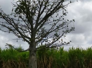
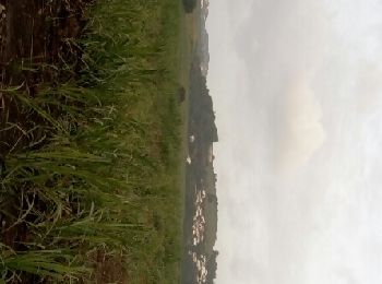
• marches pres des cannaies et des plages
Walking
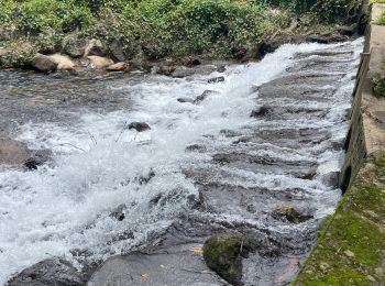
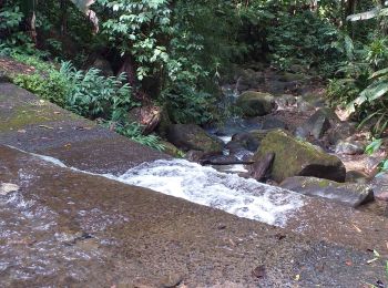
• Départ sur la N3. Randonnée en aller et retour sans difficulté particulière sauf en cas de pluie où le terrain devien...
Walking
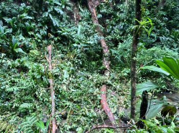
• marche
Walking
 7.529
7.529
sport
Walking
20 trails displayed on 1736
FREE GPS app for hiking
 SityTrail
IGN / Geographical institutes
SityTrail World
The world is yours!