


13.6 km | 17.4 km-effort
Le Ribay: Discover the best trails: 5 hiking trails and 2 equestrian circuits. All these trails, routes and outdoor activities are available in our SityTrail applications for smartphones and tablets.
On foot


• Website: http://randomontdesavaloirs.free.fr/
On foot
• Website: http://randomontdesavaloirs.free.fr/
On foot
• Website: http://randomontdesavaloirs.free.fr/

On foot
• Website: http://randomontdesavaloirs.free.fr/
On foot
• Website: http://randomontdesavaloirs.free.fr/

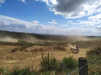
Equestrian
Equestrian
7 trails displayed on 7
FREE GPS app for hiking
 SityTrail
IGN / Geographical institutes
SityTrail World
The world is yours!